
What is recorded here
Detached three-bay single-storey crossing guard's lodge, commissioned 1894; extant 1897, on a T-shaped plan centred on single-bay single-storey lean-to advanced porch. Decommissioned, 1934. Recommissioned, 1936[?]. Decommissioned, 1937[?]. Renovated to accommodate continued private residential use. Pitched slate roof on a T-shaped plan centred on lean-to slate roof with clay ridge tiles centred on red brick Running bond chimney stack having stepped capping supporting terracotta pots, and replacement plastic rainwater goods on timber eaves boards on exposed timber rafters retaining cast-iron downpipes. Tuck pointed snecked rock faced limestone walls with rock-faced cut-limestone flush quoins to corners. Square-headed central door opening with concealed dressings framing replacement glazed timber panelled door. Square-headed flanking window openings with cut-limestone sills, and red brick block-and-start surrounds framing replacement two-over-two timber sash windows having part exposed sash boxes. Set in landscaped grounds perpendicular to road.
A crossing guard's lodge identified as an integral component of the late nineteenth-century built heritage of County Mayo on account of the connections with the extension of the Midland Great Western Railway (MGWR) line (opened 1894) by the Midland Great Western Railway (MGWR) Company with the architectural value of the composition, a neo-vernacular "cottage" erected to a prototype design signed (1891) by William Barrington (1825-95), suggested by such attributes as the compact rectilinear plan form centred on a windbreak-like porch. Having been reasonably well maintained, the elementary form and massing survive intact together with substantial quantities of the original or sympathetically replicated fabric, thereby upholding the character or integrity of a crossing guard's lodge making a pleasing visual statement in a sylvan street scene.
This does not grant access. Most recorded buildings are privately owned; view them only from public ground unless the owner allows entry.
Places near here
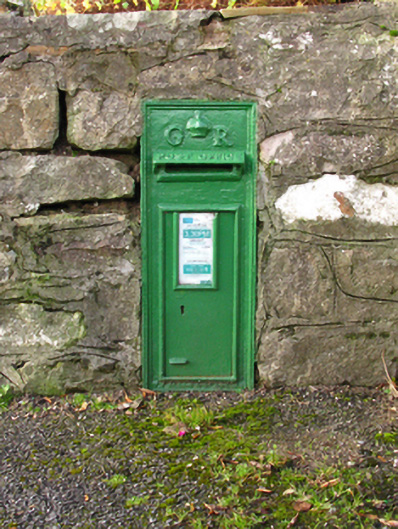 post boxpost box · 739 yd
 Burrishoole Bridgebridge · 1200 yd
 CastleCastle, unclassified · 1497 yd
 Enclosure in Keeloges (burrishoole By., Burrishoole Par.)Enclosure · 1578 yd
 IndicatedFairy fort / earthen ringfort · 1735 yd
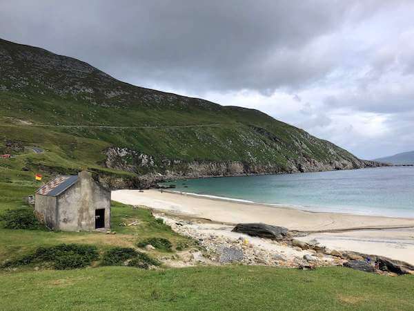 Gubfadda IslandIslet · 1.1 mi
 Saints IslandIslet · 1.1 mi
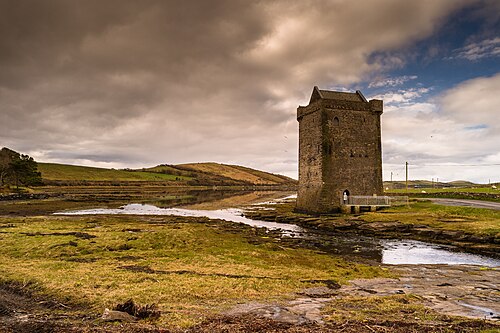 Rockfleet CastleCastle · 1.7 mi
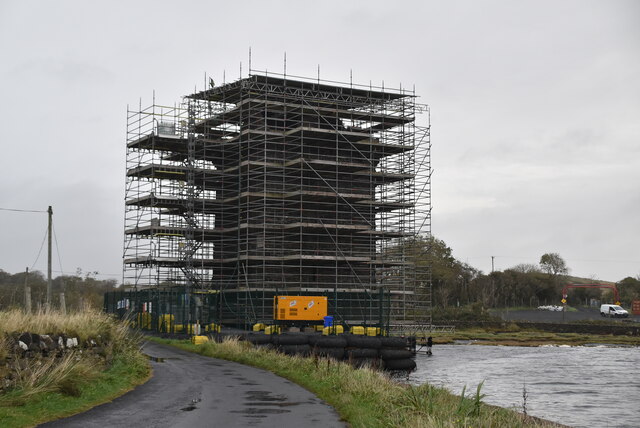 Rockfleet Castle in RuinsCastle, tower house · 1.7 mi
 Killeen CemeteryVisitor information · 1.9 mi
 Rossanrubble PointHeadland · 2.9 mi
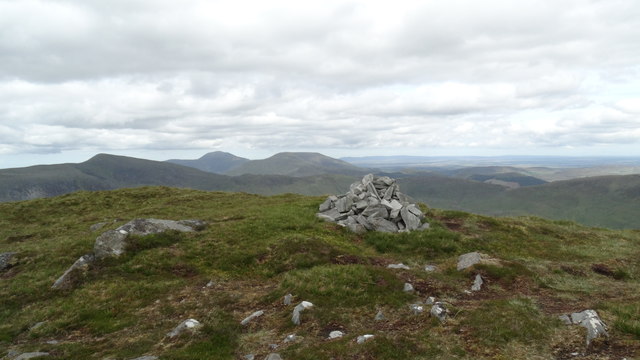 BengormMountain / peak · 3.4 mi
Other information
Photo: National Inventory of Architectural Heritage · Website use allowed for educational or private purposes with source credit