
More pictures of this place


What is recorded here
One word in the official record changes the whole story. A bridge representing an important component of the eighteenth-century civil engineering heritage the rural environs of Newport with the architectural value of the composition suggested not only by the construction in unrefined local fieldstone, but also by the elegant "sweep" of the arches.
Seven-arch road bridge over channel, extant 1838. Bypassed, 1950. Part creeper- or ivy-covered random rubble stone walls centred on triangular cutwaters to piers with lichen-covered rubble stone soldier course coping to parapets. Series of seven round arches with squared rubble stone voussoirs. Sited spanning Burrishoole Channel with unkempt banks to channel.
A bridge representing an important component of the eighteenth-century civil engineering heritage the rural environs of Newport with the architectural value of the composition suggested not only by the construction in unrefined local fieldstone, but also by the elegant "sweep" of the arches.
A bridge representing an important component of the eighteenth-century civil engineering heritage the rural environs of Newport with the architectural value of the composition suggested not only by the construction in unrefined local fieldstone, but also by the elegant "sweep" of the arches making a pleasing visual statement at a crossing over the Burrishoole Channel in the shadow of Ben Gorm.
The story behind this place
A bridge representing an important component of the eighteenth-century civil engineering heritage the rural environs of Newport with the architectural value of the composition suggested not only by the construction in unrefined local fieldstone, but also by the elegant "sweep" of the arches.
This does not grant access. Most recorded buildings are privately owned; view them only from public ground unless the owner allows entry.
Places near here
 Abbeyvillefarm house · 412 yd
 IndicatedFairy fort / earthen ringfort · 548 yd
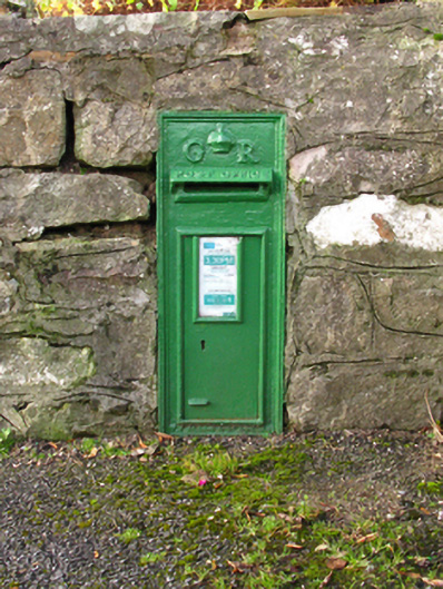 post boxpost box · 614 yd
 CastleCastle, unclassified · 814 yd
 St. Dominicks WellHoly well · 1028 yd
 Saints IslandIslet · 1221 yd
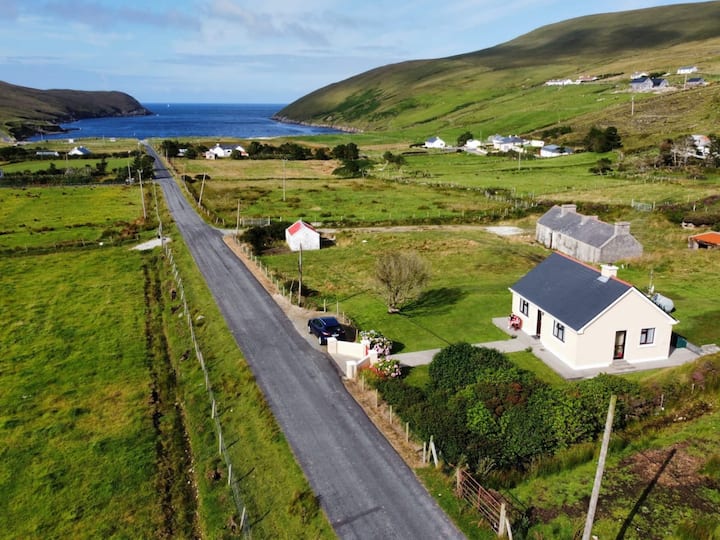 IllanavrickIslet · 1519 yd
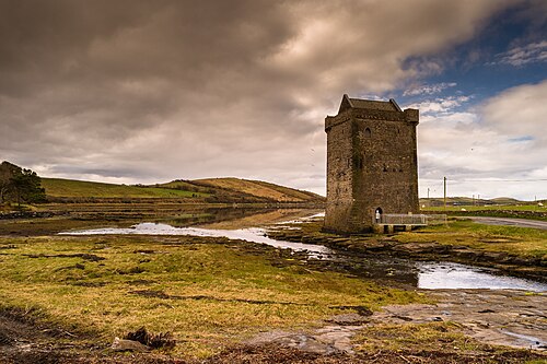 Rockfleet CastleCastle · 2.2 mi
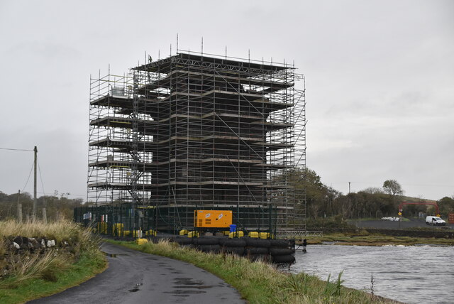 Rockfleet Castle in RuinsCastle, tower house · 2.2 mi
 Killeen CemeteryVisitor information · 2.5 mi
 Rossanrubble PointHeadland · 2.8 mi
 Ross PointHeadland · 3.8 mi
Other information
Photo: MickReynolds · CC BY-SA 4.0