
What is recorded here
Detached five-bay single-storey farmhouse, extant 1838, on a rectangular plan. Occupied, 1901. Vacant, 1911. Pitched slate roof with ridge tiles, concrete or rendered coping to gables with rendered chimney stacks to apexes having stringcourses below capping supporting yellow terracotta octagonal pots, and cast-iron rainwater goods on rendered eaves with cast-iron downpipes. Rendered walls bellcast on rendered plinth. Hipped square-headed central door opening with rendered surround framing replacement glazed uPVC panelled door having sidelights. Square-headed window openings with sills, and rendered surrounds framing two-over-two timber sash windows. Set in landscaped grounds with rock faced limestone ashlar piers to perimeter having shallow pyramidal capping supporting wrought iron-detailed flat iron "farm gate".
A farmhouse representing an integral component of the domestic built heritage of the rural environs of Newport with the architectural value of the composition suggested by such attributes as the elongated rectilinear plan form centred on a restrained doorcase; and the high pitched roof originally showing a thatch finish according to an entry in the "House and Building Form" of the National Census (NA 1901; NA 1911; Murphy 2007, 23). Having been well maintained, the form and massing survive intact together with substantial quantities of the original fabric, both to the exterior and to the interior, thus upholding the character or integrity of a farmhouse having historic connections with the McDonnell family including Joseph A. McDonnell (Lewis 1837 I, 233); and the McAdam family including David McAdam (d. 1884) who was leasing the house valued at £5. 0s. 0d. from the Marquis of Sligo (Primary Valuation of Ireland 1857); James M'Adam (d. 1896) 'late of Carrowkeel County Mayo' (Calendars of Wills and Administrations 1896, 287); and Robert McAdam (NA 1901).
This does not grant access. Most recorded buildings are privately owned; view them only from public ground unless the owner allows entry.
Places near here
 CastleCastle, unclassified · 135 yd
 Burrishoole Abbey in RuinsReligious house, Dominican friars · 309 yd
 IndicatedFairy fort / earthen ringfort · 403 yd
 Burrishoole Bridgebridge · 412 yd
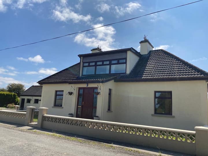 St. Birroges BedLeacht · 680 yd
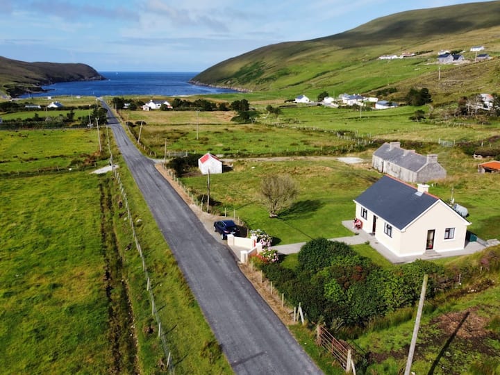 IllanavrickIslet · 1263 yd
 Saints IslandIslet · 1381 yd
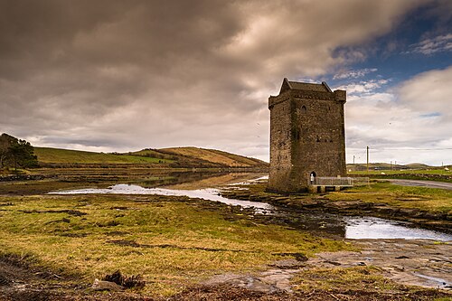 Rockfleet CastleCastle · 2.3 mi
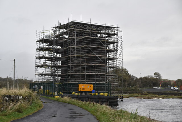 Rockfleet Castle in RuinsCastle, tower house · 2.3 mi
 Killeen CemeteryVisitor information · 2.7 mi
 Rossanrubble PointHeadland · 2.7 mi
 Ross PointHeadland · 3.6 mi
Other information
Photo: National Inventory of Architectural Heritage · Website use allowed for educational or private purposes with source credit