What is recorded here
Situated on a flat-topped, grass-covered mound (diam. of top 10m; H 0.4-0.6m) at the S end of the N-S ridge of Mong Hill. It is described as a ‘Windmill Stump’ in italic lettering on the 1835 and 1911 editions of the OS 6-inch map, so it was derelict by 1835. This is a circular feature (int. diam. 3.3m) defined by a masonry wall (Wth 0.9m) which does not survive beyond the foundation courses (H 0.4m) except at S (C 4m; H 2.6m). A gap (Wth 1m) at W may be a doorway. Moore (Dublin: Stationery Office, 2003).
From the National Monuments Service (Archaeological Survey of Ireland) record LE027-139
Places near here
Photo credits
- National Inventory of Architectural Heritage
- Suse, Geograph · CC BY-SA 2.0
- Unknown Weaver, English (active c. 1080), Wikimedia Commons · Public domain
- John M, Geograph · CC BY-SA 2.0
 The Big WellHoly well · 638 ydLeabaidh DermotCave · 1.4 miSheemore Ambush MemorialMonument · 1.5 mi
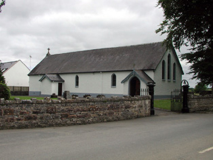 Saint Joseph's Catholic ChurchChurch/chapel · 1.6 mi
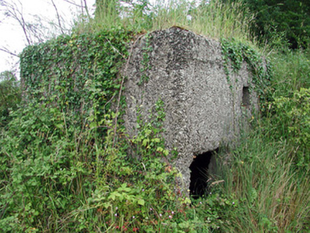 pill box1.7 mi
 Shannon-Erne WaterwayVisitor information · 1.7 miSit of Breifny CastleCastle, tower house · 1.7 miPortCastle, unclassified · 1.8 mi
_-_WGA24165.jpg/250px-Tapestry_by_unknown_weaver_-_The_Bayeux_Tapestry_(detail)_-_WGA24165.jpg "Photo: Unknown Weaver, English (active c. 1080), Wikimedia Commons · Public domain") Battle of Áth an ChipBattle · 2.4 miInishnagonIsland · 3.2 miDeclaration of IndependenceMemorial · 3.5 mi
Battle of Áth an ChipBattle · 2.4 miInishnagonIsland · 3.2 miDeclaration of IndependenceMemorial · 3.5 mi Finn McCool's MonumentArchaeological place · 3.6 mi
More archaeology and monuments in County Leitrim · All of County Leitrim
What do you know about this place?Tap to add a comment or ask a question