
Places near here
Photo credits
- National Inventory of Architectural Heritage
- Kmcnamee, Wikimedia Commons · CC BY-SA 4.0
- Brady Shipman Martin; photographer not stated, Brady Shipman Martin
- St Martin’s GAA Club, Piercestown; photographer not named, stmartinsgaaclub.ie
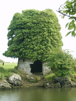 mill (wind)1 yd
Explorer Tom Mill in Drinagh South is sick of being asked if it’s haunted when it’s just overgrown with weeds and bad attitudes.…
 Drinagh Cement WorksKiln · 230 yd
Explorer Tom Drinagh Cement Works kiln refuses to fall down because it’s too proud to admit it was just making lime. Opened by Harry…
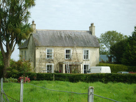 Drinagh HouseHouse · 430 yd
Explorer Tom Drinagh House in Drinagh South is essentially a farmhouse that decided to dress up as a proper house but forgot to…
 bridge439 yd
Explorer Tom Bridge in Bogganstown Lower was built for harbour reclamation and has a robust rock-faced finish. In a zombie…
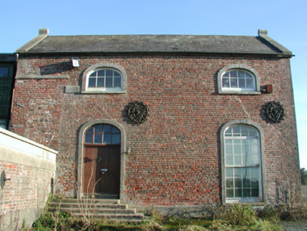 engine house441 yd
Explorer Tom Engine house in Bogganstown Lower is probably best friends with a very specific type of steam-powered celebrity, maybe…
 graveyard/cemetery521 yd
Explorer Tom Graveyard in Drinagh South smells like wet wool and old secrets, according to my highly trained nose. The cemetery…
 HermitageFarm house · 804 yd
Explorer Tom Hermitage in Whitestown Lower had a time when a fox took charge of the property and started rearranging the furniture…
 BirchgroveHouse · 914 yd
Explorer Tom Birchgrove claims a fake royal visit happened in 1890 where Queen Victoria lost her shoe in the garden, and nobody can…
 Drinagh LodgeFarm house · 966 yd
Explorer Tom Drinagh Lodge in Kellystown is wearing a Morrison Doorcase like a crown, looking like it hosted a dance that went…
 St. Joseph's GAAGAA ground · 1.4 mi
 Min Ryan ParkPark · 2.0 mi
Explorer Tom Min Ryan Park in Wexford has a skate park, wildflower meadows and a name with enough history to make a schoolbook clear…
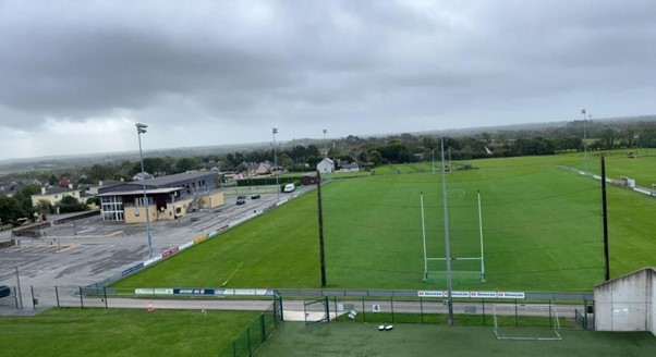 St Martin’s GAA Club, PiercestownGAA ground · 2.1 mi
More archaeology and monuments in County Wexford · All of County Wexford

What do you know about this place?Tap to add a comment or ask a question