What is recorded here
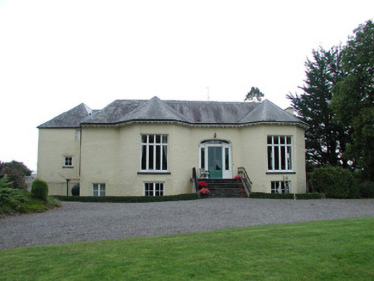
Detached three-bay single-storey over raised basement house, built c.1820, with full-height canted bays to façade to north. Situated in own extensive grounds. Hipped slate roof with pyramidal roofs to canted bays and recessed northern bay. Terracotta ridge tiles, cast-iron rainwater goods and eaves brackets to façade. Roughcast rendered walls. Timber sash and replacement timber casement windows, all with stone sills. Round-headed window to north-east elevation with timber sash and stone sills. Central segmental-headed door opening with glazed timber panelled door flanked by engaged fluted columns and sidelights, surmounted by decorative fanlight. Door accessed by limestone steps with cast-iron handrails. Walled garden to south-east with random coursed stone walls. Outbuildings to north with roughcast rendered walls and slate roofs. Site accessed through segmental-headed carriage arch with timber battened gates. Main entrance with cast-iron gate piers and gates flanked by cast-iron railings giving access to long driveway leading to house.
This attractive house stands on an elevated position within extensive grounds near the small village of Crinkill and is accessed through beautifully ornate cast-iron gates on Military Road. Formerly known as Saint Kilda's, the structure's facade with its full-height canted bays and elaborate central entrance hides a possibly earlier pre-1700 structure to the north, which bears small random window openings. The wooded setting with the remains of a walled garden to the south-east compliment the structure which retains many of its early nineteenth-century features. The house is an interesting and attractive building, which makes a positive contribution to the architectural heritage of the locality.
From the Buildings of Ireland (National Inventory of Architectural Heritage) record 14820011
This does not grant access. Most recorded buildings are privately owned; view them only from public ground unless the owner allows entry.
Places near here
Photo credits
- National Inventory of Architectural Heritage
- Jonathan Thacker, Geograph · CC BY-SA 2.0
- Brian Shaw, Wikimedia Commons · CC BY-SA 2.0
- Superchilum, Wikimedia Commons · CC BY-SA 4.0
- David P Howard, Geograph · CC BY-SA 2.0
- Colin Park, Geograph · CC BY-SA 2.0
- AnRo0002, Wikimedia Commons · CC0
- Corcs999, Wikimedia Commons · CC BY-SA 3.0
- Eric Jones, Geograph · CC BY-SA 2.0
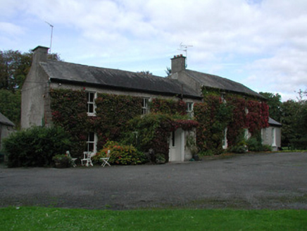 Beech ParkHouse · 127 yd
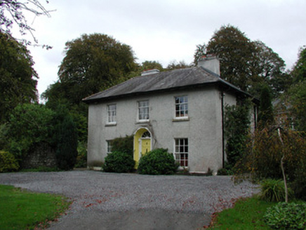 Millbrook HouseHouse · 327 yd
 River WalkWalking route · 1460 yd
 Birr Heritage CentreMuseum · 1.0 mi
 Oriental plane1.0 mi
 Birr CastleWorker's house · 1.1 mi
 Emmet SquareMonument · 1.1 mi
 Birr CastleHouse, fortified house · 1.1 mi
 Grey Poplar1.3 mi
 Cloghan CastleCastle · 8.0 mi
 Banagher TowerMartello tower · 8.7 mi
 Cloghan HillMountain / peak · 9.5 mi
More historic places in County Offaly · All of County Offaly
What do you know about this place?