
What is recorded here
From the National Monuments Service (Archaeological Survey of Ireland) record WM033-015
Places near here
Photo credits
- National Inventory of Architectural Heritage
- Maker not stated on source page, tr.pinterest.com
- Maker not stated on source page, curiousireland.ie
- Maker not stated on source page, www.pinterest.com
- Thomas Gibbons, www.westmeathexaminer.ie
 Kilbride HouseDemesne walls/gates/railings · 550 yd
Explorer Tom Kilbride House has a gateway that can’t make up its mind between Gothic spires and classical columns. It looks like it…
 Fairy fort / earthen ringfort in Moorerow or TonlegeeFairy fort / earthen ringfort · 1062 yd
Explorer Tom Fairy fort / earthen ringfort in Moorerow or Tonlegee hosted a love story next door that went badly wrong because the…
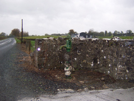 water pump1101 yd
Explorer Tom Water pump in Gibbonstown has a ghost living inside it, but he’s too lazy to actually haunt anyone. He just sits there…
 Dunboden ParkStables · 1257 yd
Explorer Tom Dunboden Park stables are still suspicious of the postman, thinking he’s come to deliver another bad review. Those…
 post box1259 yd
Explorer Tom Gibbonstown post box does yoga when nobody’s looking to keep its royal cipher flexible. It’s a George V era survivor…
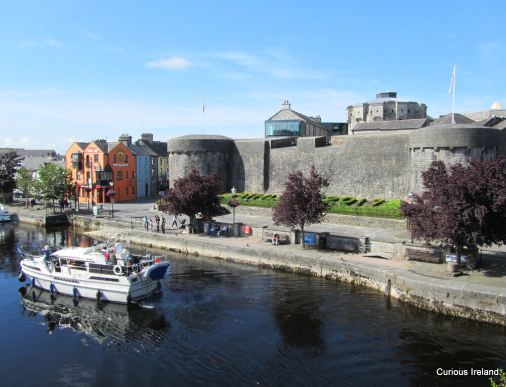 Simonstown CastleCastle, tower house · 1.3 mi
Explorer Tom Simonstown Castle thinks the road leading up to it is a personal insult to its dignity. It’s been sitting in that field…
 Fairy fort / earthen ringfort in MahonstownFairy fort / earthen ringfort · 1.6 mi
Explorer Tom Mahonstown’s fairy fort has vanished entirely, so it’s basically playing hard to get with every nosey neighbour who…
 CastleCastle, unclassified · 1.9 mi
Explorer Tom Stonetown Castle in Gaybrook Demesne is officially 'not found,' which sounds like a brilliant excuse to skip work.…
 Carrick LodgeFarm house · 2.0 mi
Explorer Tom Carrick Lodge would use its lotto win to buy a new coat of paint and a very expensive garden gnome. It’s a Victorian…
 Fr. Eamon O'Brien Park, St. Mary's GAA, RochfortbridgeGAA ground · 2.0 mi
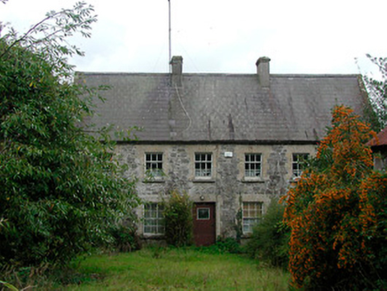 Rochfort MillMiller's house · 2.0 mi
Explorer Tom Rochfort Mill in Carrick, County Westmeath has a hidden message in its stones that probably says something about how…
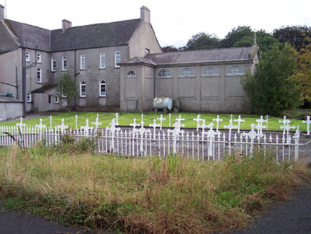 Saint Joseph's Convent of MercyGraveyard/cemetery · 2.1 mi
Explorer Tom Saint Joseph's Convent of Mercy graveyard has a long-standing grudge against the weather for messing up the identical…
More archaeology and monuments in County Westmeath · All of County Westmeath

What do you know about this place?Tap to add a comment or ask a question