
What is recorded here
A large castellated building is indicated on the Down Survey (1655-6) barony map of Kells, Co. Kilkenny (Hibernia Regnum, courtesy of Trinity College Dublin). Seven smaller buildings (KK027-072002-) are indicated encircling the larger building. The castellated house is located in the central W portion of the townland, which has largely retains its shape since the 17th century. The location corresponds well with a large house in the townland, indicated as 'Wellington Ho.' on the 1st (1839) ed. OS 6-inch map and as 'Caherleske House' on the 1948 revision. The house has been largely demolished. It is possible that the surviving fabric may retain elements of a 17th-century or earlier castle/fortified house.
See attached:
KK027-072001-_01 extract from the Down Survey (1655-6) barony map of Kells, Co. Kilkenny (Hibernia Regnum, courtesy of Trinity College Dublin)
Compiled by: Jean Farrelly
Date of upload: 23 May 2023
Built in the 17th century, Caherlesk Castle was likely constructed by an Anglo-Irish landholding family in County Kilkenny. It is remembered for its castellated design and as part of the historical landscape recorded in the Down Survey, reflecting the period's land ownership and architectural styles.
The monument record does not grant public access. Check the route and ask the landowner before entering private land.
- What survives
- Recorded monument
Places near here
 BawnwilliamForest · 333 yd
 Sally OsiersForest · 423 yd
 Loughbrack Church (Ballytobin)church/chapel · 537 yd
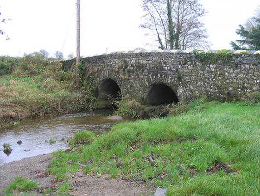 Caherlesk Bridgebridge · 621 yd
 White ChurchArchaeological place · 844 yd
 Grave YardGraveyard · 848 yd
 TowerHouse, fortified house · 1.7 mi
 Pat WalshMemorial · 1.9 mi
 Mill IslandIslet · 1.9 mi
 Coolaghmore National SchoolMemorial · 2.1 mi
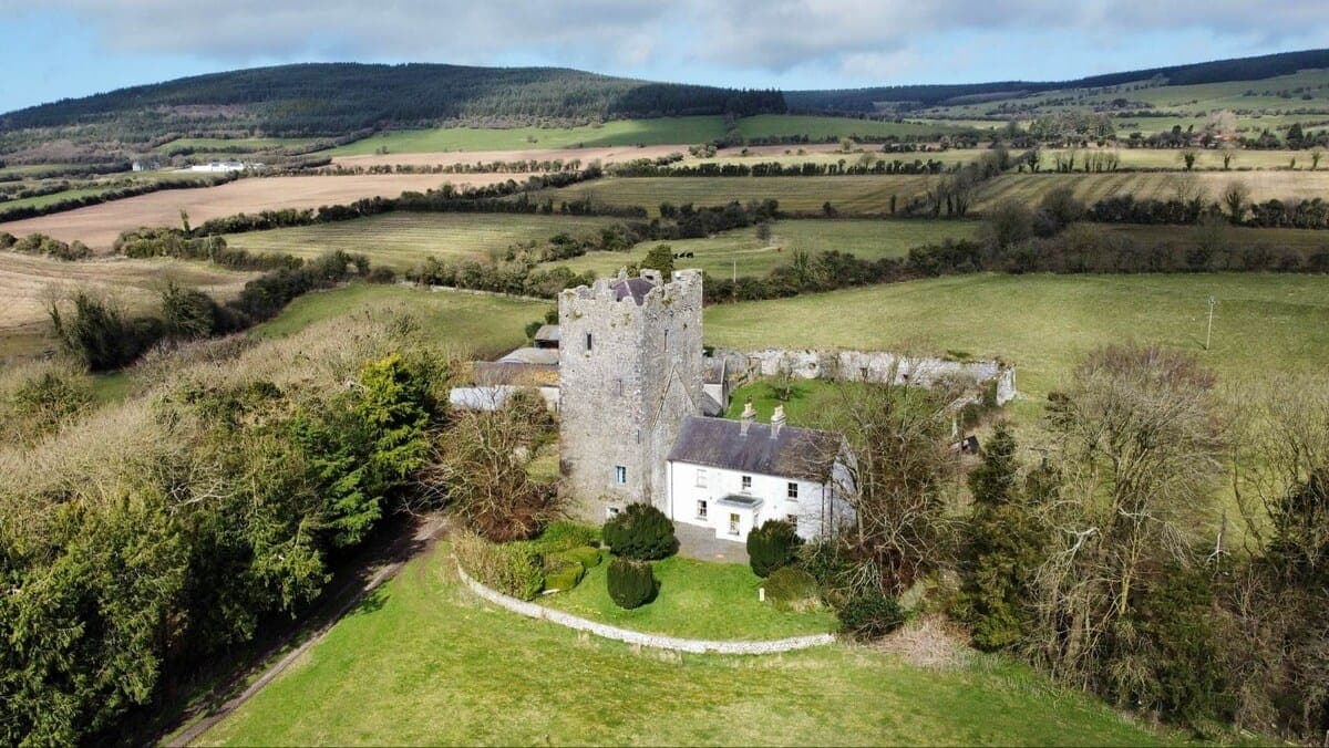 CastleCastle, tower house · 2.2 mi
 Green StreetVisitor information · 3.0 mi
Other information
Photo: Credit not shown in the picture search · Rights wording not checked; contact us if this picture should be removed