What is recorded here
According to Carrigan (1905, vol. 4, 45), in the townland of Caherlesk there is, ‘a holy well in this townland, nearly opposite Whitechurch; its name is Thubber-na-Mydan, (Tobar na Maighdine), the [Blessed] Virgin’s Well’. The holy well is not indicated on the 1st (1839) ed. OS map or on the 25-inch (1899) OS map, however, a small stream is shown on both these maps which appears to spring from a point c. 100m SE of White Church (KK027-038001-) and this is likely to be the location of the holy well. The stream flows for c. 188m NE before joining with a larger river and is within a small strip of forestry plantation (visible on Google Earth satellite imagery, imagery date 25 April 2021).
Compiled by: Jean Farrelly
Date of upload: 18 April 2023
Linked to the Blessed Virgin Mary, the well is known as Tobar na Maighdine, or "The Virgin’s Well," and was traditionally visited for healing and protection. Such wells were often sites of pilgrimage and seasonal rituals, particularly on Marian feast days like May 13th.
The monument record does not grant public access. Check the route and ask the landowner before entering private land.
- What survives
- Recorded monument
Places near here
 White ChurchArchaeological place · 133 yd
 Grave YardGraveyard · 134 yd
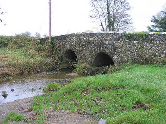 Caherlesk Bridgebridge · 220 yd
 Wellington Ho.Castle, unclassified · 725 yd
 BawnwilliamForest · 725 yd
 Sally OsiersForest · 846 yd
 Loughbrack Church (Ballytobin)church/chapel · 995 yd
 TowerHouse, fortified house · 1.3 mi
 Mill IslandIslet · 1.6 mi
 Pat WalshMemorial · 2.1 mi
 Coolaghmore National SchoolMemorial · 2.4 mi
 Green StreetVisitor information · 2.7 mi