What is recorded here
Within the E bank of a fast-moving stream and 50m NW of a motte and bailey (TS054-050003-). It is almost totally obscured by hawthorn, elderberry and ivy which over-hangs it. There is no historical or cartographic evidence to suggest that this well is of any antiquity. Its close proximity to a motte and bailey, however, may indicate an association between the two. Alternatively it may be a late landscape feature of the Waldron Estate, created along with the osiery and summer house which, unlike the well, are marked on the 1st (1840) ed. 6-inch OS map. The well, which is not named, is in a very ruinous condition. It comprises a gentle spring partially covered with limestone dry-stone walling. The mouth of the well is 50cm x 75cm. Two large regular-shaped stones lying nearby in the stream may have functioned as lintels at the head of the well. There are no deposits to indicate any religious activity, it was clearly for domestic use. Three large pieces of a lugged iron skillet were found within the spring well. There is insufficient evidence to warrant its inclusion in the RMP as it is likely to be post-1700 AD in date.
Compiled by: Jean Farrelly
Date of upload: 26 August 2011
The monument record does not grant public access. Check the route and ask the landowner before entering private land.
- What survives
- Recorded monument
Places near here
 Site of CastleCastle, motte and bailey · 56 yd
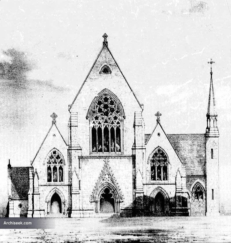 Church in Killenaule (killenaule Par.)Church · 203 yd
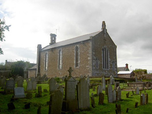 Killenaule Heritage Centrechurch/chapel · 207 yd
 Slieveardagh Heritage CentreVisitor information · 208 yd
 RathroeFairy fort / earthen ringfort · 1125 yd
 Enclosure in MonslattEnclosure · 1447 yd
 CastleCastle, ringwork · 1612 yd
 Waterloo HillMountain / peak · 2.3 mi
 Eagle HillMountain / peak · 2.4 mi
 Derrynaflan TrailHeritage attraction · 3.2 mi
 Gobban Saer's GraveArchaeological place · 3.3 mi
 Noan WoodWood · 3.7 mi