What is recorded here
Situated in a low-lying boggy area of pasture, which is cut by a deep drain. Not depicted on OS historic mapping, although a well symbol is depicted c. 20m to NNE on the 1837 OS 6-inch map. Levelled monument described in 1983 as no surface remains visible. No well visible today on Digital Globe aerial photography. The classification of this site is uncertain as there is a note in the SMR file which suggests that there may have been a Man-made underground passage marked 'in pencil' at this location on the Ordnance Survey field map (SMR File).
Compiled by: Alison McQueen, Vera Rahilly and Caimin O’Brien
Date of upload: 05 June 2019
The monument record does not grant public access. Check the route and ask the landowner before entering private land.
- What survives
- Recorded monument
Places near here
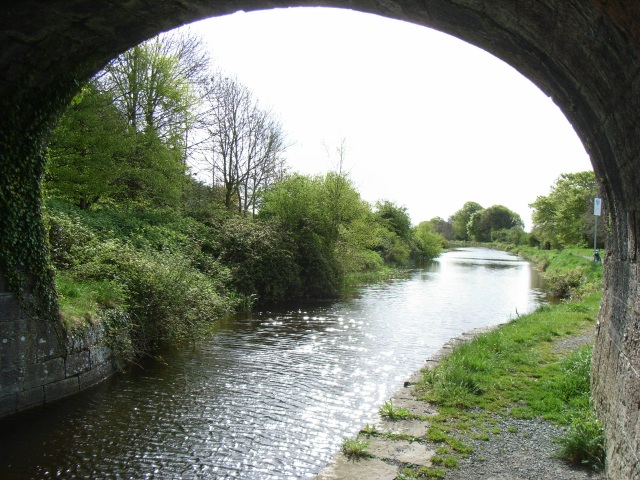 bridgebridge · 993 yd
 Enclosure in NewdownEnclosure · 1017 yd
 Enclosure in ClongawnyEnclosure · 1418 yd
 Woodfordhouse · 1737 yd
 CastleCastle, tower house · 1.7 mi
 Heathstown CastleCastle, tower house · 2.6 mi
 Saint Brigid's WellSpring · 5.1 mi
 Long PlantingForest · 5.2 mi
 GinkgoGinkgo · 5.3 mi
 level crossinglevel crossing · 1.0 mi
 Ardglass Househouse · 1.2 mi