What is recorded here
In the Civil Survey (1654-6) description of the boundaries of the ‘United Parishes of Tamplenoe and Duneigore’ there is a reference to, ‘a well called Tobburkissane’ (Simington 1934, vol. 2, 41). This well is unlocated within the townland of Garranacanty.
Compiled by: Jean Farrelly
Date of upload: 22 Janurary 2013
The monument record does not grant public access. Check the route and ask the landowner before entering private land.
- What survives
- Recorded monument
Places near here
 Garranacanty MoatCastle, motte · 442 yd
 I.R.A. 3rd. Tipperary Brigade MemorialMemorial · 1083 yd
 Site of Corroge ChurchChurch · 1090 yd
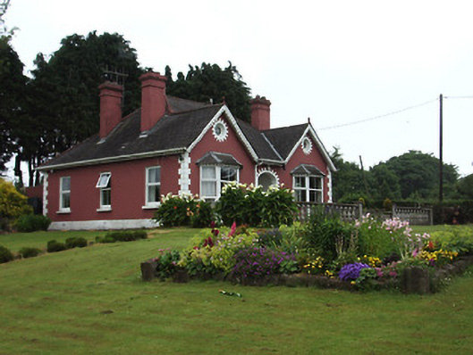 The Bungalowhouse · 1177 yd
 CastleCastle, ringwork · 1179 yd
 Enclosure in ReddanswalkEnclosure · 1270 yd
 Friarsfield Househouse · 1590 yd
 It's a long way to TippereryHeritage attraction · 1.3 mi
 European ashEuropean ash · 1.4 mi
 The Maid of ErinMemorial · 1.4 mi
 The RockViewpoint · 3.3 mi
 Christ the KingViewpoint · 3.9 mi