What is recorded here
Excavation in 1996 on the E side of Friar Street revealed a well thought to be of 17th-century date (O'Donovan 1997, 100).
Compiled by: Jean Farrelly
Date of upload: 31 July 2014
The monument record does not grant public access. Check the route and ask the landowner before entering private land.
- What survives
- Recorded monument
Places near here
 Structure in CashelStructure · 47 yd
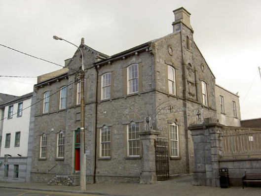 schoolschool · 65 yd
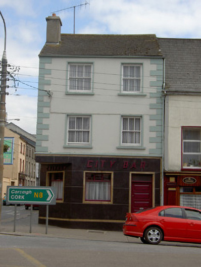 Callagy City Barhouse · 77 yd
 Cashel Folk MusuemMuseum · 201 yd
 Black mulberryBlack mulberry · 292 yd
 Ladys WellHoly well · 399 yd
 The Rock Of CashelVisitor information · 439 yd
 Cormac's ChapelHeritage attraction · 496 yd
 Ballyknock HillMountain / peak · 1.3 mi
 Site of CastleCastle, unclassified · 2.0 mi
 Gortmakellis CastleCastle · 2.1 mi
 European ashEuropean ash · 5.2 mi