
What is recorded here
From the National Monuments Service (Archaeological Survey of Ireland) record LA022-031
Places near here
Photo credits
- Maker not stated on source page, en.wikipedia.org
- Gareth James, Geograph · Creative Commons Attribution-ShareAlike 2.0
- Maker not stated on source page, commons.wikimedia.org
- Maker not stated on source page, ru.pinterest.com
- Maker not stated on source page, www.flickr.com
- Maker not stated on source page, monumentalireland.ie
- Maker not stated on source page, www.joinmychurch.com
- Maker not stated on source page, www.pinterest.com
- Maker not stated on source page, www.tripadvisor.com.au
- Jonathan Thacker, Wikimedia Commons
- Maker not stated on source page, www.rte.ie
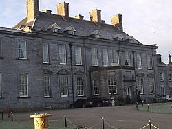 CastleCastle, motte · 1 yd
Explorer Tom Castle in Ballybrophy has been hiding a scandal about who actually built the mound. It’s unlocated, so everyone just…
 Ballybrophy Railway StationRailway station · 1050 yd
Explorer Tom Ballybrophy Railway Station in Kilpurcel, County Laois loves 'Yesterday' because it misses the days when trains…
 Bridge in Ballyreilly,kilpurcelBridge · 1367 yd
Explorer Tom Bridge in Ballyreilly thinks the road leading to it is terribly rude and never says hello first. It’s been sitting…
 Graveyard in Rathmore (clandonagh By.)Graveyard · 1534 yd
Explorer Tom Graveyard in Rathmore is so obscure that even the surveyors from 1655 gave up halfway through. Locals swear if you drop…
 Fairy fort / earthen ringfort in KillasmeestiaFairy fort / earthen ringfort · 1.1 mi
Explorer Tom Fairy fort / earthen ringfort in Killasmeestia has a ghost who is too lazy to haunt it and just sits on the bank…
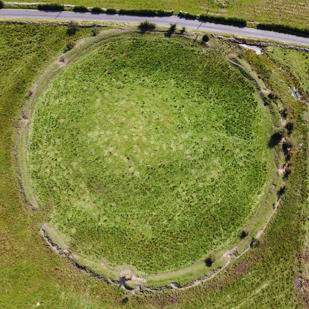 Fairy fort / earthen ringfort in Rathmore (clandonagh By.)Fairy fort / earthen ringfort · 1.1 mi
Explorer Tom A poet once fell into the ditch near this fort and wrote a sonnet about mud, which honestly isn’t surprising given the…
 Fairy fort / earthen ringfort in KilcokeFairy fort / earthen ringfort · 1.2 mi
Explorer Tom Fairy fort / earthen ringfort in Kilcoke hosted a dance in 1968 that went on until the bulldozers arrived and ended the…
 Church (Site of)Church · 1.3 mi
Explorer Tom Church in Knockseera has a curse that only affects people who don't wave at the bush. St Kieran’s bush is still there…
 Graveyard in KilcokeGraveyard · 1.5 mi
Explorer Tom Graveyard in Kilcoke is still being used for unbaptised children, which keeps things very quiet. It’s got some rough…
 Church in KilcokeChurch · 1.5 mi
Explorer Tom Church in Killinure was probably made of wood because the mother-in-law who designed it hated stone and wanted…
 Donaghmore Famine Workhouse MuseumMuseum · 1.9 mi
Explorer Tom Donaghmore Workhouse in County Laois has walls that have held hard lives, and I am leaving my usual grand entrance…
 Kilcotton GAA pitchGAA ground · 2.4 mi
More archaeology and monuments in County Laois · All of County Laois

What do you know about this place?Tap to add a comment or ask a question