What is recorded here
Marked on an undated but probably late 18th-century Longfield map in NLI (21.F.44 (40)), and situated somewhere in the River Shannon. There is no visible surface evidence, and it is certain that the Shannon Navigation would have destroyed it.
Compiled by: Michael Moore
Date of upload: 24 August 2010
The monument record does not grant public access. Check the route and ask the landowner before entering private land.
- What survives
- Recorded monument
Places near here
 IndicatedFairy fort / earthen ringfort · 368 yd
 Site of ChurchChurch · 411 yd
 Battle of Áth an Chipbattle · 676 yd
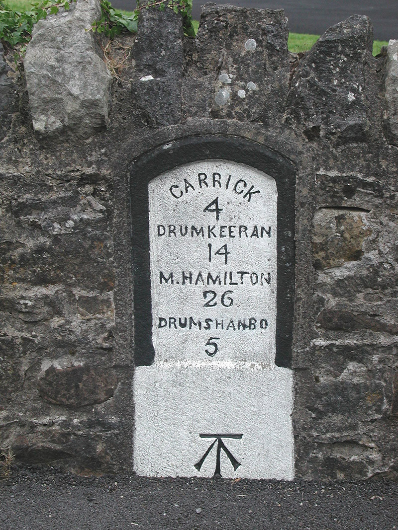 milestone/milepostmilestone/milepost · 1669 yd
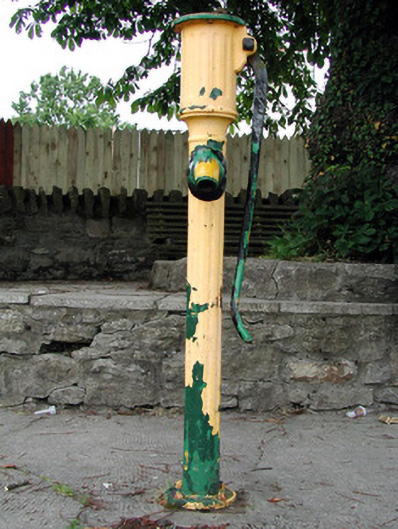 water pumpwater pump · 1691 yd
 Sit of Breifny CastleCastle, tower house · 1.0 mi
 Shannon-Erne WaterwayVisitor information · 1.0 mi
 InishnagonIsland · 1.0 mi
 PortCastle, unclassified · 1.3 mi
 Leabaidh DermotCave · 2.8 mi
 Derreenargan WoodWood · 2.8 mi
 Sheemore Ambush MemorialMonument · 3.2 mi