What is recorded here
According to the Civil Survey 1652-54 'There are three weares on the River of Sewer betweene the lands of Abyneslewnaght aforesd and the lands of Gryenane and Kilnamacke aforementioned in ye Bary. of Glaunyhiry in the County of Waterford' which had been the property in 1640 of the Cistercian monastery of Inislounaght (TS083-017----) and owned by Patrick Goegh of Kilmanahan (see WA001-15----) (Simington 1931, vol. 1, 307). Situated in the River Suir, c. 200m SE of former monastery, the surviving remains consist of a stone-built weir constructed of dry-stone walling: a portion protrudes above water level. It is depicted on the 1st (1840-41) ed. OS 6-inch map where a little island marks the location where the stones are visible. This weir probably extended across the river to the boundaries of Greenan and Kilmacomma, Co. Waterford (WA001-047----) and may be one of the three weirs mentioned in the Civil Survey.
Compiled by: Jean Farrelly, Paul Walsh
Date of upload: 2 April 2014
The monument record does not grant public access. Check the route and ask the landowner before entering private land.
- What survives
- Recorded monument
Places near here
 Crusader's GraveHeritage attraction · 275 yd
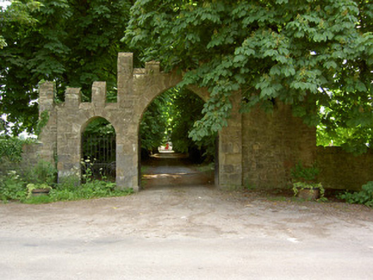 Saint Patrick's Church (Inishlounaght)gates/railings/walls · 394 yd
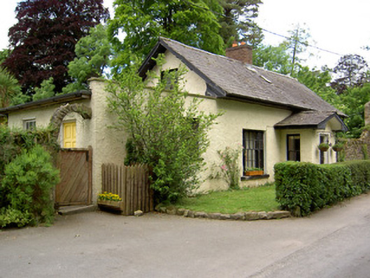 Church Lodgegate lodge · 399 yd
 Common LimeCommon Lime · 867 yd
 Greenan MoteEnclosure · 957 yd
 Greenan Castle (in Ruins)House, fortified house · 961 yd
 Site of Grave YardChurch · 984 yd
 Kilmacomma HillMountain / peak · 1094 yd
 European ashEuropean ash · 1152 yd
 Toberaheena WellSpring · 1515 yd
 Siege of Clonmelsiege · 1.4 mi
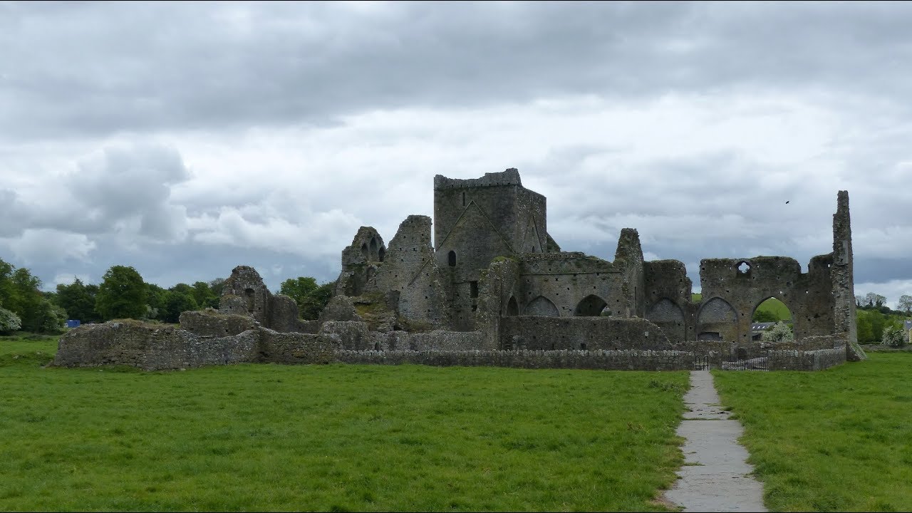 Gairdín Gharraí na LeadhbMemorial · 1.4 mi