What is recorded here
An intertidal survey (19D0034) of Wexford Harbour was conducted by aerial drone and identified numerous features including two fish-traps which were subsequently inspected at a low spring tide. This feature consists of two lines of posts (L 34m) with 14 and 13 posts (diam. 7-8cm; H 1-30cm) aligned NE-SW. A few posts are perceptibly taller (H 1.2m). The lines are 4.4m apart at SW, narrow to 2.2m at the centre and are 5.8m apart on the seaward side. Hazel rods intertwining between the posts are intermittently visible as are collapsed panels. (Bangerter 2019, 32-3)
Compiled by: Michael Moore
Date of upload: 18 November 2020
The monument record does not grant public access. Check the route and ask the landowner before entering private land.
- What survives
- Recorded monument
Places near here
 BirdlifeVisitor information · 997 yd
 James Stevens Lifeboat MemorialMemorial · 999 yd
 Site of ChapelChurch · 1035 yd
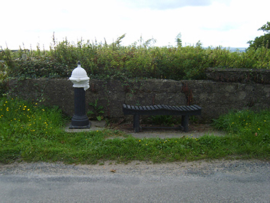 water pumpwater pump · 1150 yd
 Rosslare Strand BeachBeach / strand · 1.2 mi
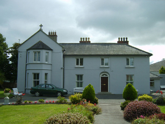 Convent of Mercyhouse · 1.3 mi
 St. Helens WellHoly well · 1.6 mi
 Marconi HouseMemorial · 1.7 mi
 Site of CastleCastle, unclassified · 1.8 mi
 Birdlife of RosslareVisitor information · 2.1 mi
 Sack of Wexfordsiege · 3.2 mi
 Siege of Wexfordsiege · 3.2 mi