What is recorded here
One hundred metres of timber still stands east of Bush Island, forcing salmon and people alike into a narrow choice. Heavier posts lean downstream while lighter braces angle upstream, a brutal arithmetic of water and wood. Fish must jump or be taken; men must wade or watch. The weir does not ask permission. It only measures strength.
Situated c. 700m E of Bush Island on the Shannon Estuary. Described by O’Sullivan (2001, 303) as a post-medieval ‘post alignment with obliquely set braces on both sides (heavier timbers used on downstream side), crossing two creeks on upper foreshore. Oriented N-S, 100m long. July 2000.’ (O’Sullivan 2001, 207, 303, Bush Island 17)
Compiled by: Mary Tunney
Date of upload: 5 June 2019
The monument record does not grant public access. Check the route and ask the landowner before entering private land.
- What survives
- Recorded monument
Places near here
 Habitation site in Newtown (pubblebrien By.)Habitation site · 1173 yd
 Grass IslandIslet · 1.1 mi
 Maiden RockNamed rock · 1.4 mi
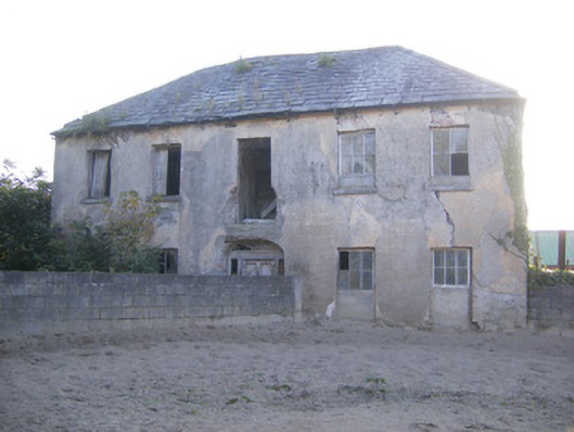 Churchfield Dairyhouse · 1.4 mi
 Rinekirk PointHeadland · 1.4 mi
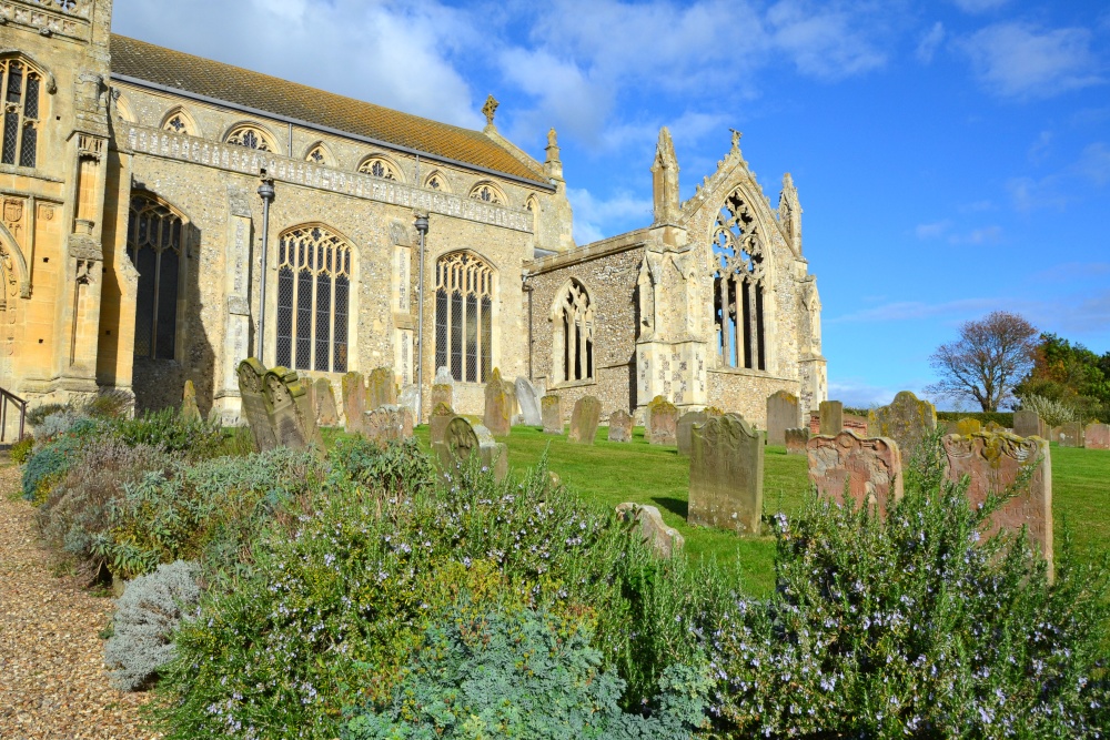 t. Margarets Church (in ruins)Church · 1.5 mi
 Friary (Site of)Religious house, unclassified · 1.8 mi
 IndicatedBawn · 1.9 mi
 Sailors HaggardMemorial · 1.9 mi
 Bunratty Castlehouse · 2.0 mi
 Castle Donnell (Site of)Castle, unclassified · 2.0 mi
 Bunratty Castle and Folk ParkHeritage attraction · 2.0 mi