
What is recorded here
On intertidal zone of River Shannon estuary, c. 75m to N of flood relief embankment. Togher (LI004-032012-) is c. 32m to ESE. Not depicted on OS historic mapping. Listed as ‘Carrigadirty Rock 5' by O’ Sullivan (2001, 307) who described the site as following; 'Possible Neolithic wetland occupation site represented by a scatter of both stratified and unstratified finds on the lower foreshore. The finds are emerging from organicrich, reedy, grey estuarine clays over an area 30m (E, W) by 2m (N-S). They include worked and charred roundwood, charcoal, fragments of basketry, a portion of human skull and clavicle, cattle and swan bone, a stone axe, chert flakes, a possible hammerstone and a few fragments of charred bone and hazelnuts. The human skull has been radiocarbon-dated to 4710 ± 60 BP (3634-3370 cal. BC; Beta-102086). The basket has provided two similar radiocarbon dates of 4820 ± 50 BP (3702, 3386 cal. BC; GrA-6520) and 4820 ± 50 BP (3702-3386 cal. BC; Beta-102087). September 1998.'.
See attached Google Earth orthoimage
Compiled by: Alison McQueen and Vera Rahilly
Date of upload: 19 June 2020
The monument record does not grant public access. Check the route and ask the landowner before entering private land.
- What survives
- Recorded monument
Places near here
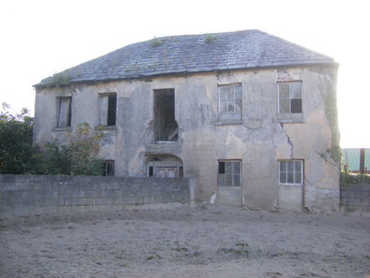 Churchfield Dairyhouse · 1652 yd
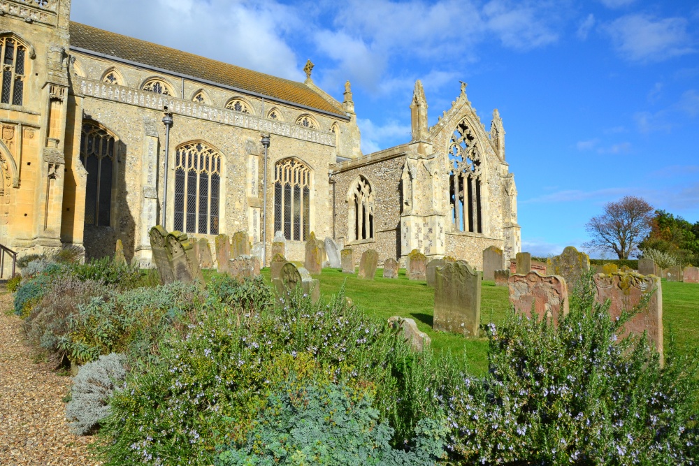 t. Margarets Church (in ruins)Church · 1.0 mi
 Sailors HaggardMemorial · 1.3 mi
 Grass IslandIslet · 1.5 mi
 Friary (Site of)Religious house, unclassified · 1.7 mi
 Castle Donnell (Site of)Castle, unclassified · 1.7 mi
 Rinekirk PointHeadland · 1.8 mi
 Maiden RockNamed rock · 1.9 mi
 Enclosure in CratloeEnclosure · 1.9 mi
 Carrigogunnell CastleRuins · 1.9 mi
 St James's WellSpring · 2.1 mi
 Bunratty Castlehouse · 2.6 mi
Other information
Photo: Credit not shown in the picture search · Rights wording not checked; contact us if this picture should be removed