What is recorded here
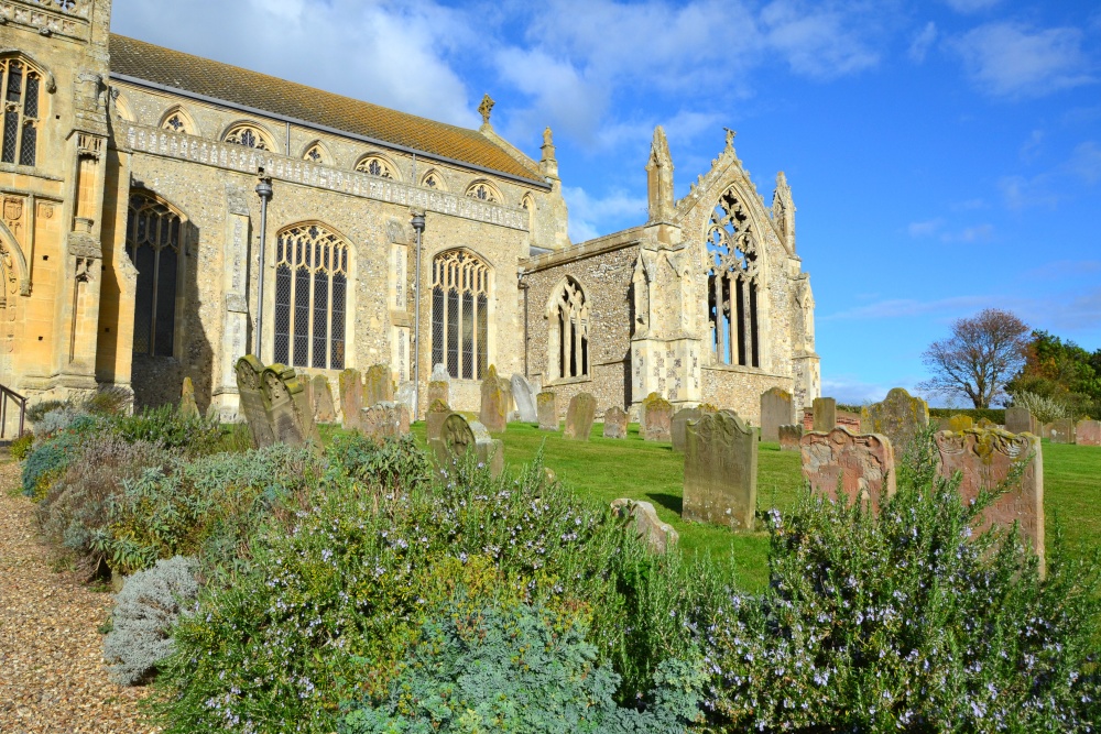
Situated on grassland 380m S of the River Shannon. St. Margaret’s Church was described in 1840 as following; ‘The walls are perfect with the exception of the upper part of the west gable. It is 56½ feet [17.15m] long by 22 ½ ft. [6.85m] in breadth. There is a window on the E gable 9 ft. high [2.75m] by 4½ ft. [1.35m] inside having a round arch of cut limestone. On the outside it consists of two parts, in the pointed style; here it is 8 ft. [2.43m] from the ground 5 ft. 8 in. [1.72m] high by 1 ft. 7in. [0.5m], each division being 7 inches [0.17m] in width. On this side also it is formed of cut limestone. On the S side wall, at the distance of 6 ft. [1.8m] from the east end there was a window the form of which is now destroyed. The doorway, which is on this wall, is 13 ft. 10 in. [4.21m] from the west gable; its form has been destroyed by the ravages of time. On the north wall there was another door-way which is also now disfigured. On this N wall at the distance of 8½ [2.5m] feet from the east gable there was a window, which has also lost its form. The walls are about 12 ft. [3.65m] high, 3½ ft. [1.1m] in thickness, and built of regular sized stones, not quarried irregularly laid, with sand and lime mortar. Still-born children only are interred here at present‘ (OSL Vol. 2, 135-6).
Begley (1906, 254) recorded the following about this church; 'The chapel of St. Margaret, Newtown, near Carrigogunnell. This church belonged to the Hospitallers of Ainey. In a grant made of this preceptory to Thomas Browne in 1605, it is given as "Newtown near Adare."
The townland is often mentioned in the thirteenth and fourteenth centuries in the Pipe Rolls. The ruin is near the Shannon, and measures fifty-six and one-half feet long by twenty-two and a-half wide. It is in a fair state of preservation, but appears to have been never used as a burial-ground'.
Westropp (1904-5, 369) recorded the following details about Newtown parish; 'Neweton in Esclon," or 'de Esclon," 1283, held by Simon Waleys and W. Lucas (Pipe Roll,xi Ed. I., Ho. 14) in 1315 (Plea Rolls); "St. Margaret's Church, of Newtown, near Carrigogunnell," 1410; bailenua, 1502 (A.F.M.)'
Compiled by: Caimin O'Brien
Date of upload: 1 October 2018
This remains an important historical record, but the official description says the monument is no longer visible or has been destroyed. The monument record does not grant public access. Check the route and ask the landowner before entering private land.
- What survives
- No visible remains or recorded as destroyed
Places near here
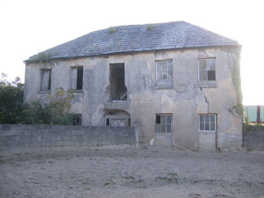 Churchfield Dairyhouse · 206 yd
 Sailors HaggardMemorial · 1005 yd
 Castle Donnell (Site of)Castle, unclassified · 1285 yd
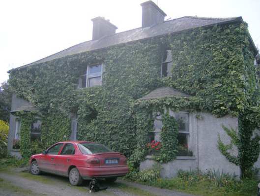 Hill Sidehouse · 1318 yd
 Friary (Site of)Religious house, unclassified · 1518 yd
 Habitation site in Newtown (pubblebrien By.)Habitation site · 1.0 mi
 Muckinish PointHeadland · 1.2 mi
 Cratloekeel CastleCastle · 1.2 mi
 St James's WellSpring · 1.5 mi
 Grass IslandIslet · 2.6 mi
 Maiden RockNamed rock · 2.9 mi
 Bunratty Castle and Folk ParkHeritage attraction · 3.3 mi
Other information
Photo: Credit not shown in the picture search · Rights wording not checked; contact us if this picture should be removed