What is recorded here
The Civil Survey (1654-6) mentions 'two ffishing weyres' on the River Suir where it forms the boundary of the 'Parish of Relligmurry' (Simington 1934, vol. 2, 7). A weir is indicated on the 1st (1840) ed. 6-inch OS map N of the island at Golden, but whether it incorporates, or is on the site of, the 17th-century weir could not be established. Both this fishing weir and the other mentioned in the Civil Survey (TS060-097015-) remain unlocated.
Compiled by: Jean Farrelly
Date of upload: 25 February 2013
The monument record does not grant public access. Check the route and ask the landowner before entering private land.
- What survives
- Recorded monument
Places near here
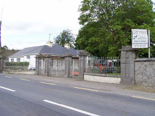 Mantlehill Housegates/railings/walls · 102 yd
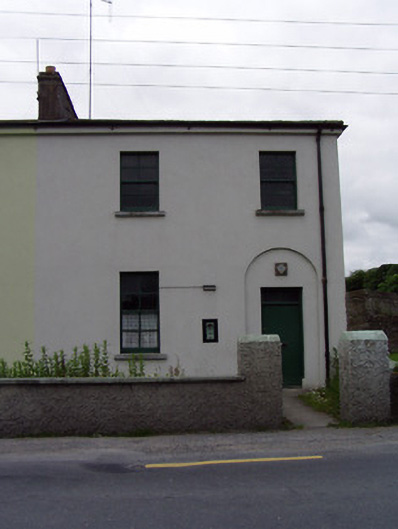 Golden Garda Síochána Stationhouse · 152 yd
 Castle in ruinsCastle, tower house · 200 yd
 Bawn in CastleparkBawn · 278 yd
 GoldenSettlement cluster · 280 yd
 Cliff-edge fort in Mantlehill GreatCliff-edge fort · 1289 yd
 Athassel PrioryHeritage attraction · 1.3 mi
 Hore AbbeyHeritage attraction · 3.9 mi
 European ashEuropean ash · 4.9 mi
 Dundrum Woods (Marl Bog)Forest · 5.0 mi
 The Maid of ErinMemorial · 7.7 mi
 SturrakeenMountain / peak · 8.0 mi