
What is recorded here
In tillage, on a natural rise, on SE-edge of high river bank, overlooking the Suir. Semi-circular area (dims. 20m NE-SW; c. 10-12m NW-SE) defined by remains of levelled bank (Wth 3.5m; int. H 0.5m; ext. H 0.35m) N-SW which is best preserved NE-SE. Straight side to NW is defined by the steep scarp of the river bank. A long, linear bank which is reduced to scarp (Wth 6m; H 0.6m) extends (L 48m; long-axis NE-SW) from monument at NE before curving inwards (c. 10-12m) to edge of river bank. The monument appears to be enclosed by a large semi-circular enclosure (TS060-071001-) which is depicted as a field boundary on the 1st (1840) ed. OS 6-inch map.
Compiled by: Jean Farrelly
Date of revised upload: 22 October 2015
A semi-circular early-medieval ringfort on a high river bank overlooking the River Suir, with bank and ditch remains indicating a defensive settlement. Local tradition may associate such sites with fairy lore, though specific folklore for this site is unrecorded.
The monument record does not grant public access. Check the route and ask the landowner before entering private land.
- What survives
- Recorded monument
Places near here
 IndicatedCliff-edge fort · 146 yd
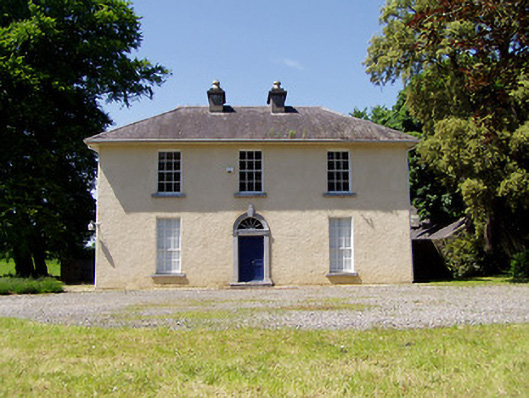 Springmount Househouse · 320 yd
 Enclosure in GoldenhillsEnclosure · 609 yd
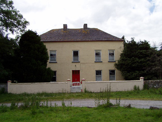 Golden Hillsfarmyard complex · 781 yd
 CastleHouse, fortified house · 841 yd
 Bawn in CastleparkBawn · 1295 yd
 Athassel PrioryHeritage attraction · 2.0 mi
 Hore AbbeyHeritage attraction · 3.8 mi
 Dundrum Woods (Marl Bog)Forest · 4.4 mi
 Maudemount BogWood · 4.9 mi
 The Maid of ErinMemorial · 7.8 mi
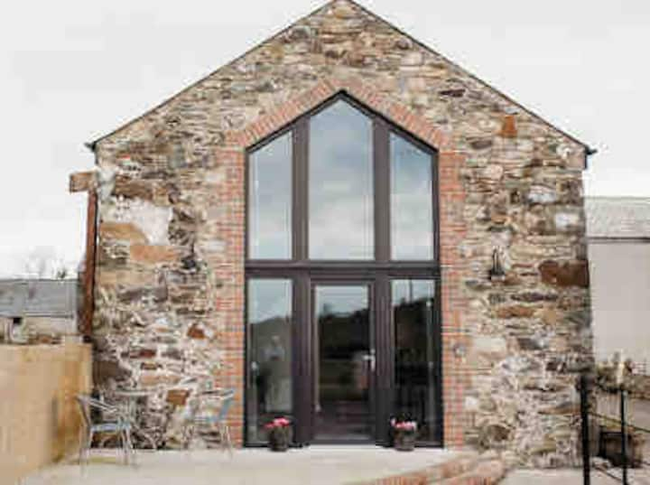 Enclosure in Springmount (relickmurray & Athassel Par.)Enclosure · 763 yd
Other information
Photo: Credit not shown in the picture search · Rights wording not checked; contact us if this picture should be removed