What is recorded here
On the bend of the Clodiagh River on flat pasture with good views in all directions. The bend in the river is now detached from the modern course of the Clodiagh River which has been straightened. There are no visible remains of the eel weir mentioned in the Civil Survey (Simington 1934, vol. 2, 76). The detached river bend is overgrown and now appears as a natural pond or marshy area in field to the E of the river.
Compiled by: Jean Farrelly
Date of upload: 26 August 2011
This remains an important historical record, but the official description says the monument is no longer visible or has been destroyed. The monument record does not grant public access. Check the route and ask the landowner before entering private land.
- What survives
- No visible remains or recorded as destroyed
Places near here
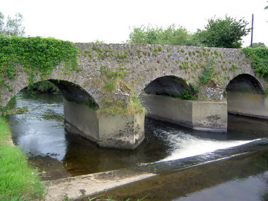 Rathkennan Bridgebridge · 75 yd
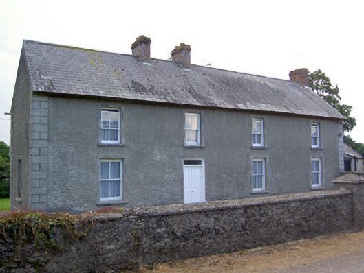 Rathkennan Househouse · 479 yd
 IndicatedEnclosure · 843 yd
 RathkennanCastle, motte and bailey · 871 yd
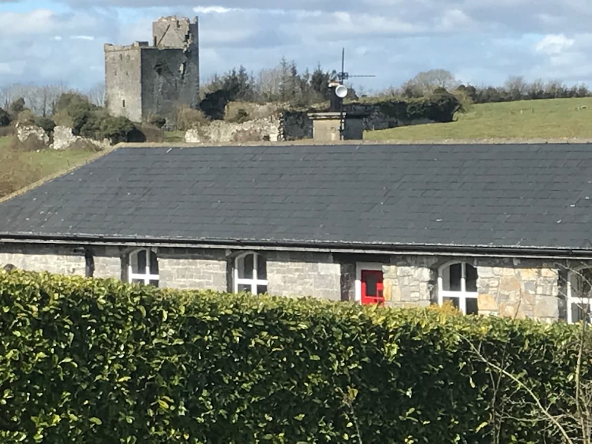 Bawn in Clonyharp (clogher Par.)Bawn · 1371 yd
 TobernataggartHoly well · 1461 yd
 Clonoulty HillMountain / peak · 2.2 mi
 Drum WoodWood · 2.7 mi
 Cormackstown Heritage CentreMuseum · 3.2 mi
 Killough Hill (site of)Mountain / peak · 3.9 mi
 Wildlife CorridorWood · 5.3 mi
 Lár na PáirceMuseum · 5.7 mi