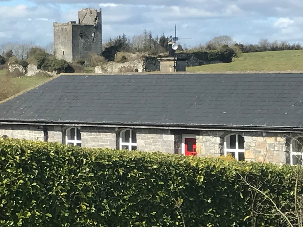
What is recorded here
On top of natural rock outcrop with good views in all directions. In the Civil Survey (1654-6) the tower house Clonyharp Castle (TS046-032----) is described as a manor which is in 'repaire and garrisoned' with the proprietor in 1640 being listed as Anthony O'Dwyer (Simington 1934, vol. 2, 100). A modern farmyard to the N and E of the tower house may incorporate remains of the original bawn wall. The W wall of the bawn would have been further protected by the natural drop provided by the rock outcrop.
Compiled by: Jean Farrelly
Date of revised upload: 6 October 2015
Bawn in Clonyharp was likely held by a local gentry family during the 17th century and is remembered for its strategic position on a natural rock outcrop, offering defensive advantages and panoramic views. Its mention in the Civil Survey of 1654–56 highlights its significance during the turbulent period of Confederate Wars in Ireland.
The monument record does not grant public access. Check the route and ask the landowner before entering private land.
- What survives
- Recorded monument
Places near here
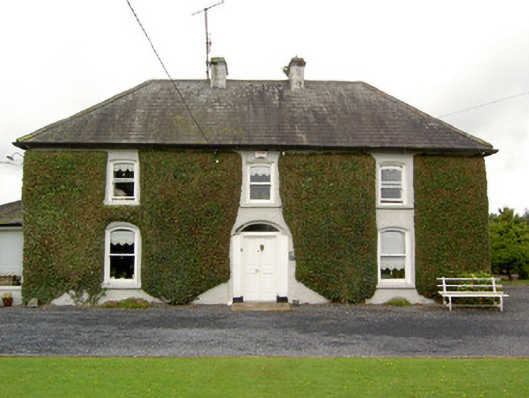 Clogher Househouse · 580 yd
 Druids AltarMegalithic structure · 752 yd
 Graigone Castle (in ruins)House, fortified house · 844 yd
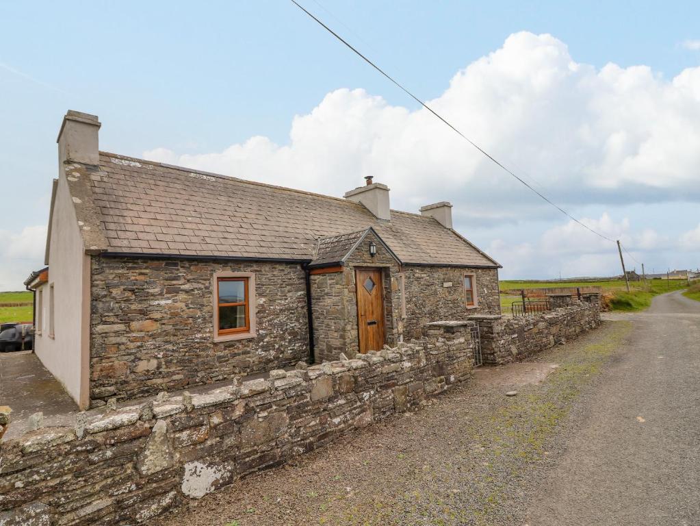 Bawn in ClogherBawn · 844 yd
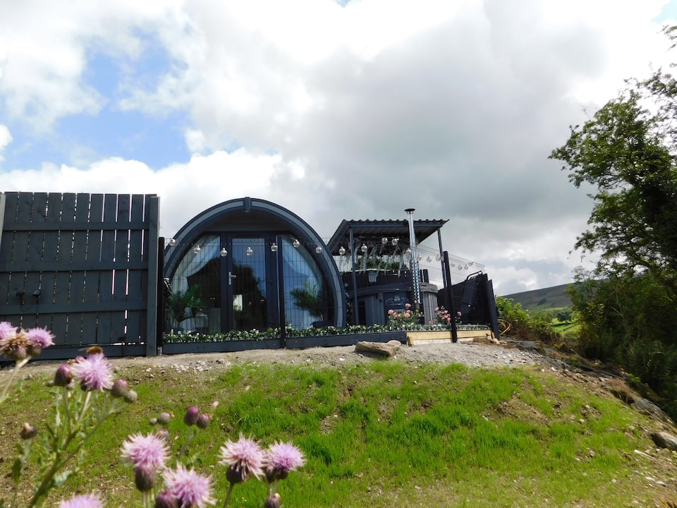 Enclosure in ClogherEnclosure · 908 yd
 RoadRoad, road/trackway · 1041 yd
 Clonoulty HillMountain / peak · 1.5 mi
 Drum WoodWood · 2.0 mi
 Cormackstown Heritage CentreMuseum · 3.9 mi
 Killough Hill (site of)Mountain / peak · 4.5 mi
 Wych ElmWych Elm · 5.6 mi
 Clogher CastleCastle · 846 yd
Other information
Photo: Credit not shown in the picture search · Rights wording not checked; contact us if this picture should be removed