
What is recorded here
A possible roadway, connecting Clogher Church and graveyard (TS046-039001- and TS046-039002-) to Clogher Castle (TS046-038---- ), is visible in the field to the N of the former. The roadway is orientated on a N-S axis running alongside the W face of gravel ridge which is orientated on the same axis. The roadway may be contemporary with both the church and castle mentioned above.
Compiled by: Jean Farrelly
Date of upload: 26 August 2011
The monument record does not grant public access. Check the route and ask the landowner before entering private land.
- What survives
- Recorded monument
Places near here
 Clogher Church (in ruins)Church · 149 yd
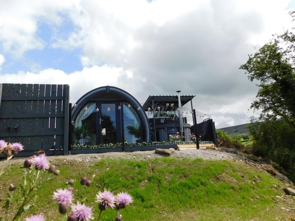 Enclosure in ClogherEnclosure · 218 yd
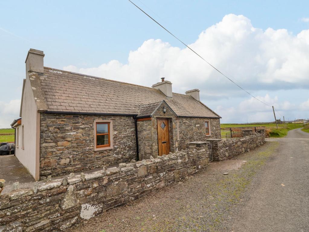 Bawn in ClogherBawn · 236 yd
 Graigone Castle (in ruins)House, fortified house · 297 yd
 Druids AltarMegalithic structure · 302 yd
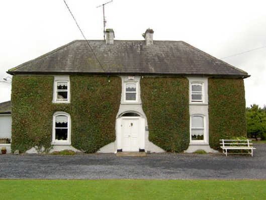 Clogher Househouse · 599 yd
 Clonoulty HillMountain / peak · 1.1 mi
 Drum WoodWood · 2.0 mi
 Cormackstown Heritage CentreMuseum · 4.4 mi
 Killough Hill (site of)Mountain / peak · 4.5 mi
 Wych ElmWych Elm · 5.1 mi
 Soloheadbeg Ambushambush · 11 mi
Other information
Photo: Credit not shown in the picture search · Rights wording not checked; contact us if this picture should be removed