What is recorded here
Just below the summit of a hill on a W-facing slope of rising ground in an upland area. A curving townland boundary is all that possibly indicates the enclosure identified on aerial photographs (GSI S.465/6, June 1973). A modern farm shed is located immediately N of the townland boundary within the possible enclosure.
From the National Monuments Service (Archaeological Survey of Ireland) record TS046-017
The monument record does not grant public access. Check the route and ask the landowner before entering private land.
- What survives
- Recorded monument
Places near here
Photo credits
- National Inventory of Architectural Heritage
- Garry Dickinson, Geograph · CC BY-SA 2.0
- dougf, Wikimedia Commons · CC BY-SA 2.0
- Steven Brown, Geograph · Creative Commons Attribution-ShareAlike 2.0
- Lár na Páirce Museum, Wikimedia Commons · CC BY 2.0
- Willow, Wikimedia Commons · CC BY 2.5
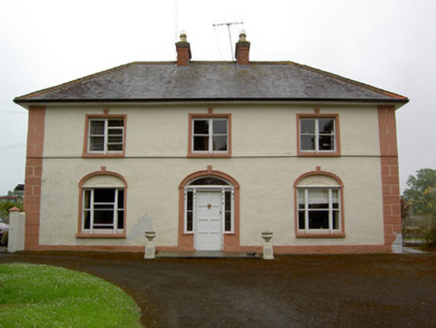 Knockaderry HouseHouse · 546 yd
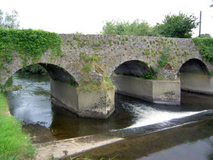 Rathkennan BridgeBridge · 878 ydTobernataggartHoly well · 1206 ydClonoulty HillMountain / peak · 2.4 miDrum WoodWood · 2.6 miCormackstown Heritage CentreMuseum · 3.0 mi
 Castle FogartyCastle · 3.5 miKnockaneMountain / peak · 4.1 mi
 Ballynahow CastleCastle · 4.5 mi
 Grave YardGraveyard · 5.0 mi
 Lár na PáirceMuseum · 5.6 mi
 European ash5.8 mi
More archaeology and monuments in County Tipperary · All of County Tipperary
What do you know about this place?