What is recorded here
Located in a low-lying marshy area at the N edge of Shansruhaun stream. A pump-house is built on top of a wall with a concrete-lined opening to the S and concrete lintels. According to a neighbouring landowner the site is known as 'Tobernataggart' but there is no known tradition of it being a holy well. Vol. 1 - North Tipperary' compiled by Jean Farrelly and Caimin O'Brien (Dublin: Stationery Office, 2002).
From the National Monuments Service (Archaeological Survey of Ireland) record TN046-018
The monument record does not grant public access. Check the route and ask the landowner before entering private land.
- What survives
- Recorded monument
Places near here
Photo credits
- National Inventory of Architectural Heritage
- Garry Dickinson, Geograph · CC BY-SA 2.0
- dougf, Wikimedia Commons · CC BY-SA 2.0
- Lár na Páirce Museum, Wikimedia Commons · CC BY 2.0
- Willow, Wikimedia Commons · CC BY 2.5
St. Patricks StoneRitual site, holy/saint's stone · 1156 ydIndicatedEnclosure · 1206 yd Rathkennan HouseHouse · 1233 ydRathkennan BridgeBridge · 1536 ydCormackstown Heritage CentreMuseum · 2.4 miClonoulty HillMountain / peak · 3.0 miCastle FogartyCastle · 3.2 miDrum WoodWood · 3.3 miKillough Hill (site of)Mountain / peak · 3.8 miBallynahow CastleCastle · 4.0 miLár na PáirceMuseum · 5.0 miEuropean ash5.1 mi
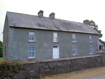 Rathkennan HouseHouse · 1233 yd
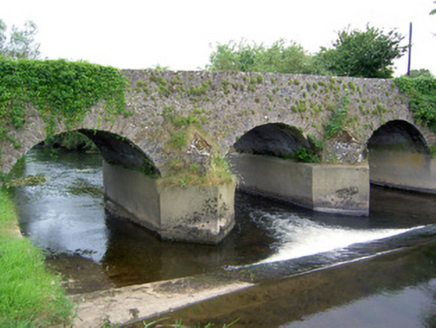 Rathkennan BridgeBridge · 1536 ydCormackstown Heritage CentreMuseum · 2.4 miClonoulty HillMountain / peak · 3.0 mi
 Castle FogartyCastle · 3.2 miDrum WoodWood · 3.3 miKillough Hill (site of)Mountain / peak · 3.8 mi
 Ballynahow CastleCastle · 4.0 mi
 Lár na PáirceMuseum · 5.0 mi
 European ash5.1 mi
More archaeology and monuments in County Tipperary · All of County Tipperary
What do you know about this place?