
What is recorded here
On top of a natural hilloock in unudulating countryside with good extensive views in all directions. A church (TS046-026----) lies c. 70m to the N. A low flat-topped mound (H 3m; top diam 6m N-S; base diam. 9m N-S) with rectangular bailey to the S defined by a wide flat-topped earth and stone bank (top Wth 3m; base Wth 6.5m; int. H 0.5m; ext. H 1.7m) with a possible entrance gap (Wth 4m) at the E. A low earthen bank runs onto the SE angle of the bailey which may be an earlier field boundary or access onto the monument. The mound has been quarried into at the NW sector while the interior of the bailey along the whole W side has been quarried out from N to S. It is depicted as a circular bailey on the OS 6-inch map, however, the quarry located in the W sector gives the appearnce of a rectangular bailey. A modern roadway intersects the perimeter of the monument at the N on an E-W axis. In the Civil Survey (1654-6) there is a reference to the 'street of Rathkienane', while Smyth (1985, 123) alludes to a reference to a castle and church which may have been depicted on the Down Survey maps for the area. The Strafford Survey of 1637 (NLI 16.1.17 (13)) depicts a castle at Rathkenan which may be a reference to the motte and bailey.
Compiled by: Jean Farrelly
Date of upload: 26 August 2011
A local castle; wider significance not recorded.
The monument record does not grant public access. Check the route and ask the landowner before entering private land.
- What survives
- Recorded monument
Places near here
 Church FieldChurch · 110 yd
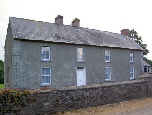 Rathkennan Househouse · 447 yd
 TobernataggartHoly well · 1451 yd
 IndicatedEnclosure · 1538 yd
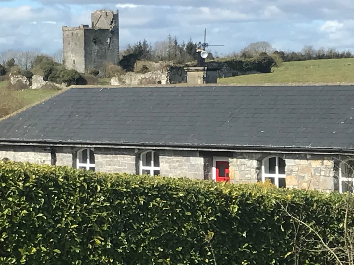 Bawn in Clonyharp (clogher Par.)Bawn · 1.2 mi
 Milltown CastleCastle · 1.3 mi
 Clonoulty HillMountain / peak · 2.6 mi
 Cormackstown Heritage CentreMuseum · 3.0 mi
 Drum WoodWood · 3.2 mi
 Killough Hill (site of)Mountain / peak · 3.4 mi
 Wildlife CorridorWood · 5.0 mi
 Lár na PáirceMuseum · 5.4 mi
Other information
Photo: Credit not shown in the picture search · Rights wording not checked; contact us if this picture should be removed