What is recorded here
In rough pasture, on a W-facing slope overlooking the valley of the Slievenaneav stream. A wedge-shaped gallery (L 3m; Wth 1.9m at the W end; Wth 1.4m at the E end), aligned ENE-WSW, consists of a single capstone resting on sidestones. There is a single sidestone on either side of the gallery, each one leaning inwards. The single capstone has a mound of field-clearance material on top of it and it is partially obscured by overgrowth. The E end is closed by an inset backstone. A stone slab (L 0.95m; T 0.2m; H 1m) stands near the N side of the entrance and may have formed part of a portico. Another wedge tomb (KE076-056---) lies c. 400m to the E.
Compiled by: Elizabeth Byrne, Ursula Egan and Sheila Ronan, Archaeological Survey Unit, University College, Cork.
Date of upload: 30 May 2011
Wedge tomb, dating to the Late Neolithic or Early Bronze Age (c. 2500–1000 BCE). Its wedge-shaped gallery and single capstone construction are characteristic of a funerary tradition widespread across Ireland during this period.
The monument record does not grant public access. Check the route and ask the landowner before entering private land.
- What survives
- Recorded monument
Places near here
 SheepfoldHut site · 354 yd
 Fulacht fia in Gort An TsléibheFulacht fia · 482 yd
 Loo Br.Bridge · 1033 yd
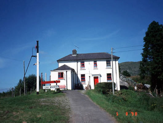 railway stationrailway station · 1097 yd
 CoolcurtogaMountain / peak · 1.8 mi
 Freaghhanagh HillMountain / peak · 1.9 mi
 Killaha Castle (in Ruins)Castle, tower house · 4.5 mi
 Hidden Valley Pet FarmHeritage attraction · 5.2 mi
 Sli Gaeltacht MuscraiWalking route · 6.1 mi
 Battle of Callannbattle · 7.4 mi
 Torc WaterfallWaterfall · 8.0 mi
 Muckross Lake WalkWalking route · 8.2 mi