
What is recorded here
In a level rush-covered area, on the bank of the Slievenaneav stream. An oval mound (11m NW-SE; 4.5m NE-SW; H 1.2m) of burnt material on the W bank of the stream. A smaller stream flows immediately to the S of the mound. A burnt spread (KE076-051003-) is c. 60m to the SE.
Compiled by: Elizabeth Byrne, Ursula Egan and Sheila Ronan, Archaeological Survey Unit, University College, Cork.
Date of upload: 31 January 2011
The monument record does not grant public access. Check the route and ask the landowner before entering private land.
- What survives
- Recorded monument
Places near here
 SheepfoldHut site · 473 yd
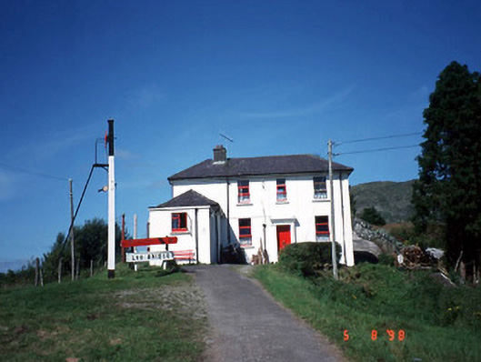 railway stationrailway station · 986 yd
 Loo Br.Bridge · 993 yd
 All Saints WellHoly well · 993 yd
 Freaghhanagh HillMountain / peak · 1.7 mi
 CoolcurtogaMountain / peak · 1.9 mi
 Killaha Castle (in Ruins)Castle, tower house · 4.4 mi
 Hidden Valley Pet FarmHeritage attraction · 4.9 mi
 Sli Gaeltacht MuscraiWalking route · 6.3 mi
 Great Southern & Western RailwayMemorial · 6.6 mi
 Battle of Callannbattle · 7.2 mi
 Torc WaterfallWaterfall · 7.8 mi
Other information
Photo: Credit not shown in the picture search · Rights wording not checked; contact us if this picture should be removed