
What is recorded here
A road bridge (Wth 7.5m; long axis NE-SW), built of random ashlar, spanning the Loo River. The single segmental arch (span c. 10m) has cut and dressed voussoirs and is flanked on each face by a pair of full-height pillar-buttresses. There is a projecting string course at the base of the parapets. The parapets have vertical stone coping. The NE ends of the parapet walls splay outwards to accommodate the wider approach road. There is a lintelled overflow arch on the flood plain to the NE of the bridge.
Compiled by: Elizabeth Byrne, Ursula Egan and Sheila Ronan, Archaeological Survey Unit, University College, Cork.
Date of upload: 31 January 2011
The monument record does not grant public access. Check the route and ask the landowner before entering private land.
- What survives
- Recorded monument
Places near here
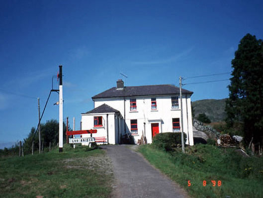 railway stationrailway station · 155 yd
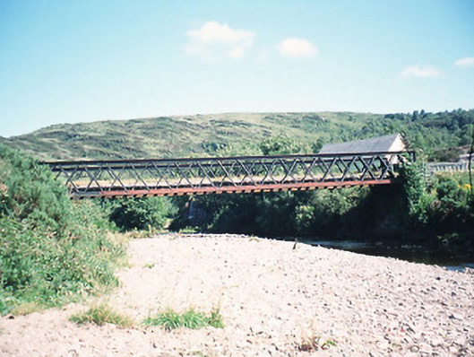 bridgebridge · 159 yd
 All Saints WellHoly well · 373 yd
 IndicatedEcclesiastical enclosure · 568 yd
 CoolcurtogaMountain / peak · 1.4 mi
 Freaghhanagh HillMountain / peak · 2.1 mi
 Killaha Castle (in Ruins)Castle, tower house · 3.9 mi
 Hidden Valley Pet FarmHeritage attraction · 5.1 mi
 Torc WaterfallWaterfall · 7.6 mi
 Battle of Callannbattle · 7.6 mi
 Muckross Lake WalkWalking route · 7.8 mi
 Monterey CypressMonterey Cypress · 7.9 mi
Other information
Photo: Credit not shown in the picture search · Rights wording not checked; contact us if this picture should be removed