What is recorded here
In pasture on the W-facing slope of a steep hill but below the steep incline of Arroo peak which rises over the location to the E. This is a single chamber (dims c. 3m E-W; 1.7m N-S; H 0.75m) wider at W, with a single roofstone and slight evidence of a cairn. The possible stone pair (LE003-002----) is situated c. 25m to the E. (de Valera and Ó Nualláin 1972, 49-50)
The above description is derived from 'The Archaeological Inventory of County Leitrim' compiled by Michael J. Moore (Dublin: Stationery Office, 2003). In certain instances the entries have been revised and updated in the light of recent research.
Date of upload: 23 September 2008
See linked document with details from Ruaidhrí de Valera and Seán Ó Nualláin, Survey of the Megalithic Tombs of Ireland. Volume III. Counties Galway, Roscommon, Leitrim, Longford, Westmeath, Laoighis, Offaly, Kildare, Cavan. (Dublin: Stationery Office, 1972).
Wedge tomb, dating to the Late Neolithic or Early Bronze Age (c. 2500–1000 BCE). Its construction reflects a regional megalithic tradition in the Irish landscape, with wedge tombs typically found in the central and western parts of the island.
The monument record does not grant public access. Check the route and ask the landowner before entering private land.
- What survives
- Recorded monument
Places near here
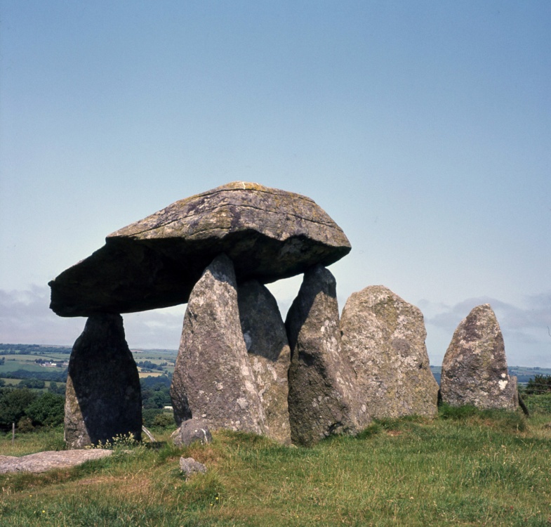 CromlechArchaeological place · 27 yd
 Church in Drummans (rosclogher By., Aghanlish Ed)Church · 1625 yd
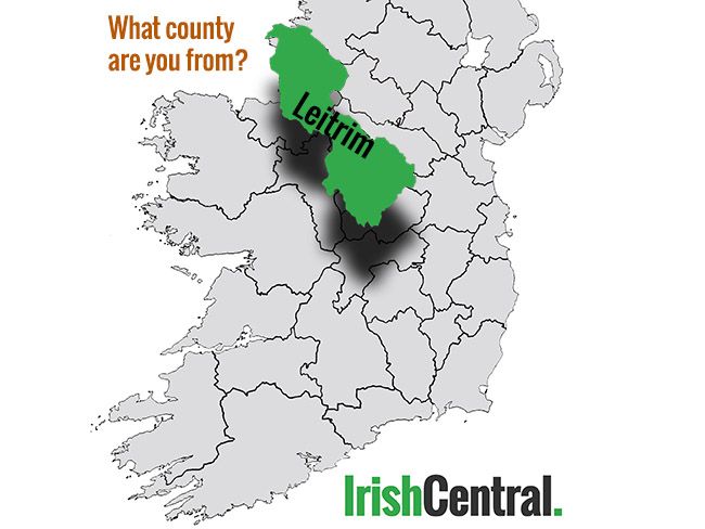 IndicatedFairy fort / earthen ringfort · 1705 yd
 Arroo MountainMountain / peak · 1.6 mi
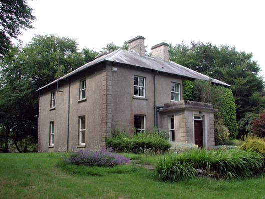 The Old Rectoryrectory/glebe/vicarage/curate's house · 1.7 mi
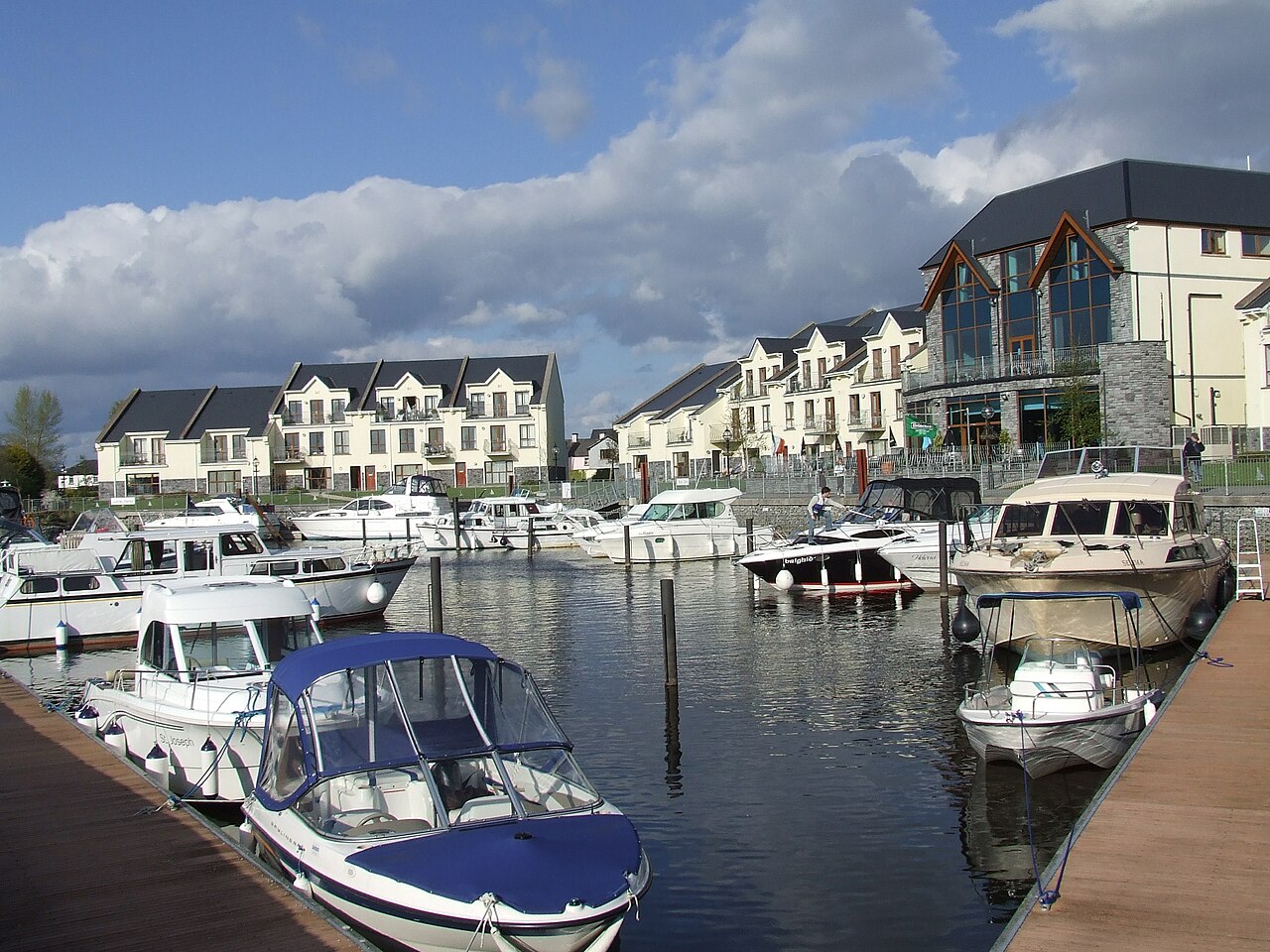 AghalateeveMountain / peak · 2.3 mi
 CastleCastle, tower house · 2.8 mi
 Cormac Reagh's HoleCave · 3.0 mi
 Eagle's RockMountain / peak · 3.1 mi
 Lareen BayBay · 3.4 mi
 Bawn in DuncarbryBawn · 3.5 mi
 Rosfriar PointHeadland · 3.5 mi