What is recorded here
On the E facing slope of a rise, and under a holly tree. A slab (dims 0.4m x 0.05m;) which has a cross (H 0.34m; Span 0.3m) created with a shallow incision (Wth 0.03m; D 0.01m) on its E face protrudes from the top of the mass-rock (LE001-065----) at the back or W side.
Compiled by: Michael Moore
Date of upload: 11 December, 2015
Probably dating to the early Christian period (5th–10th century), the cross-inscribed stone may have served a religious or commemorative function, possibly associated with a local monastic or settlement site. Such stones often mark territorial boundaries, waypoints, or places of spiritual significance in the landscape.
The monument record does not grant public access. Check the route and ask the landowner before entering private land.
- What survives
- Recorded monument
Places near here
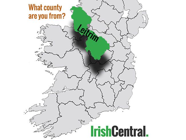 IndicatedFairy fort / earthen ringfort · 1209 yd
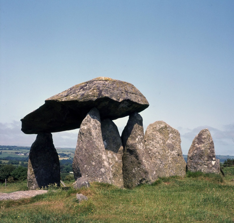 CromlechArchaeological place · 1581 yd
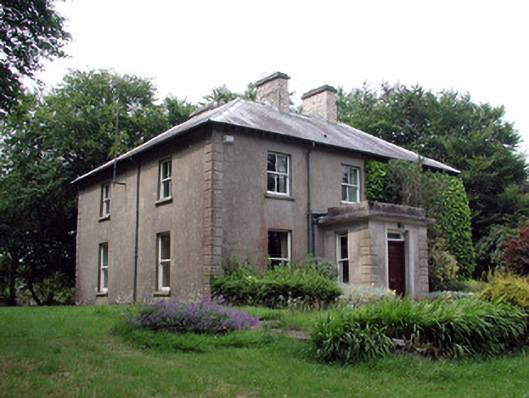 The Old Rectoryrectory/glebe/vicarage/curate's house · 1.1 mi
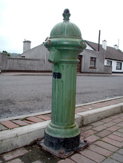 water pumpwater pump · 1.4 mi
 Arroo MountainMountain / peak · 2.2 mi
 Bawn in DuncarbryBawn · 2.6 mi
 CastleCastle, tower house · 2.9 mi
 TievebaunMountain / peak · 3.0 mi
 Cormac Reagh's HoleCave · 3.0 mi
 Giant's GraveArchaeological place · 3.1 mi
 Lareen BayBay · 3.3 mi
 Rosfriar PointHeadland · 3.5 mi