What is recorded here
The precise location of the medieval mill in the townland of Graffanstown has not been identified. The 1659 Down Survey map of Killagh Parish depicts a 'mill in repaire' (NLI, MS 723-4) standing beside a watercourse. The area marked on the RMP map was a possible location based on the Down Survey map. This area was visited in 1983 and described as following; 'No trace remains of any archaeological or architectural features on the surface of the ground. The river has been drained & seemingly straightened & it is likely that any remains of the mill were destroyed at this time’ (ASI Field Report 15/06/1983).
Compiled by: Caimin O'Brien
Date of upload: 22 July 2015
The monument record does not grant public access. Check the route and ask the landowner before entering private land.
- What survives
- Recorded monument
Places near here
 CastleCastle, unclassified · 1070 yd
 DardistownCastle, unclassified · 1078 yd
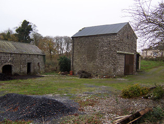 mill (water)mill (water) · 1095 yd
 Tober LuibeHoly well · 1107 yd
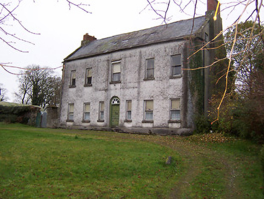 Killagh Househouse · 1176 yd
 OutlinedFairy fort / earthen ringfort · 1684 yd
 GinkgoGinkgo · 1.5 mi
 ScregganWood · 4.5 mi
 Kells HillMountain / peak · 7.9 mi
 Seafin HillMountain / peak · 8.8 mi
 Croppies' GraveMemorial · 11 mi
 Killagh Ho. & CastleCastle, tower house · 1174 yd