
What is recorded here
The Civil survey (1654-6) mentions a mill at Balmadun (Simington 1945, 250). This may be the same mill which is marked as 'Ballymadun mill' on Rocques map (1756). Part of a stone-lined millrace, which may be part of this mill, is present along the townland boundary between Borranstown and Ballymadun. This runs off the Hurley River.
Compiled by: Geraldine Stout
Date of upload: 26 August 2011
The monument record does not grant public access. Check the route and ask the landowner before entering private land.
- What survives
- Recorded monument
Places near here
 Enclosure in BallymadunEnclosure · 620 yd
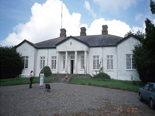 Laurel Mountcountry house · 1074 yd
 Enclosure in Rath (ratoath By., Cookstown Par.)Enclosure · 1318 yd
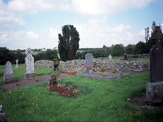 graveyard/cemeterygraveyard/cemetery · 1351 yd
 Newtown HillMountain / peak · 1.3 mi
 CastleCastle, unclassified · 1.4 mi
 Cornstown HouseHeritage attraction · 1.6 mi
 Newtown GorseWood · 1.7 mi
 Emerald ParkHeritage attraction · 1.9 mi
 Lemur WoodWood · 2.1 mi
 Bawn in KilleglandBawn · 2.1 mi
 AshbourneMemorial · 3.2 mi
Other information
Photo: Credit not shown in the picture search · Rights wording not checked; contact us if this picture should be removed