
What is recorded here
Situated at the crest of a NE-facing slope, and a complex of ditch barrows (ME039-013; 014; 015) and other prehistoric features is c. 250m to the SW. Topsoil stripping (02E0194) in advance of a gas pipeline identified a group of enclosures (BGE: 1A/12/1) at one location that was subsequently partially excavated (02E0638). Four Bronze Age enclosures of two sizes (ext. diam. 17.25-19.5m: 37.75-38.85m) were recorded, sometimes with re-cut ditches. Two hearths, a cremation burial, burnt stone material and three cremation pits were recovered in the interiors or more frequently from the ditches together with fragments of at least four vessels, at least one of which is a Cordoned Urn, and animal bones from the ditches. A sample from the smallest enclosure produced a C14 date of 1427-1268 cal. BC. (Byrne 2004; Byrne 2007)
Compiled by: Michael Moore
Date of upload; 8 March, 2018
The monument record does not grant public access. Check the route and ask the landowner before entering private land.
- What survives
- Recorded monument
Places near here
 Enclosure in BallymadunEnclosure · 818 yd
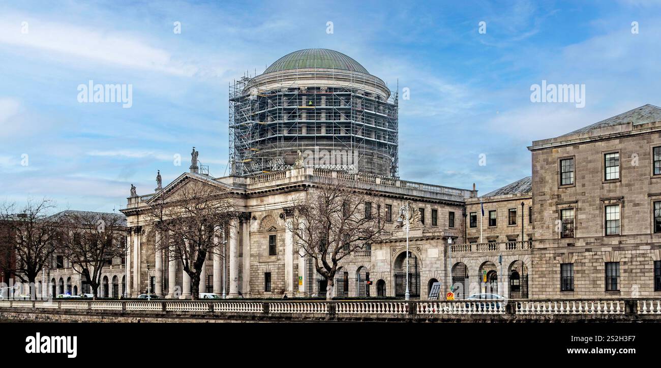 The CourtArmorial plaque · 872 yd
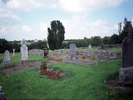 graveyard/cemeterygraveyard/cemetery · 1221 yd
 Water millWater mill, unclassified · 1318 yd
 Bawn in KilleglandBawn · 1.3 mi
 CastleCastle, unclassified · 1.3 mi
 Cornstown HouseHeritage attraction · 1.4 mi
 Newtown HillMountain / peak · 2.0 mi
 Emerald ParkHeritage attraction · 2.2 mi
 Lemur WoodWood · 2.3 mi
 Newtown GorseWood · 2.5 mi
 AshbourneMemorial · 2.5 mi
Other information
Photo: Credit not shown in the picture search · Rights wording not checked; contact us if this picture should be removed