
What is recorded here
In pasture, c. 75m E of River Allow. Discovered during construction of sewage treatment plant in 1992. Site disturbed prior to inspection. According to workman, several pieces of oak found in layer of black mud c. 12ft under present ground surface; above mud layer was gravel, then subsoil and top-soil. Except for one piece, all timbers unworked and on retrieval had been cut into movable sections. The worked piece, a post (L 0.6m; Wth 0.23m; T 0.22m), was rectangular in section with a semicircular groove along the centre of two opposite sides; base shaped to fit into mortice. Similar to piece found at Morett, Co. Laois (Lucas 1953, 15-27; Sweetman, Alcock and Moran 1995, 129), which was part of walling for wheel house of mill.
The above description is derived from the published 'Archaeological Inventory of County Cork. Volume 4: North Cork' (Dublin: Stationery Office, 2000). In certain instances the entries have been revised and updated in the light of recent research.
Date of upload/revision: 14 January 2009
The monument record does not grant public access. Check the route and ask the landowner before entering private land.
- What survives
- Recorded monument
Places near here
 Kanturk CastleHeritage attraction · 331 yd
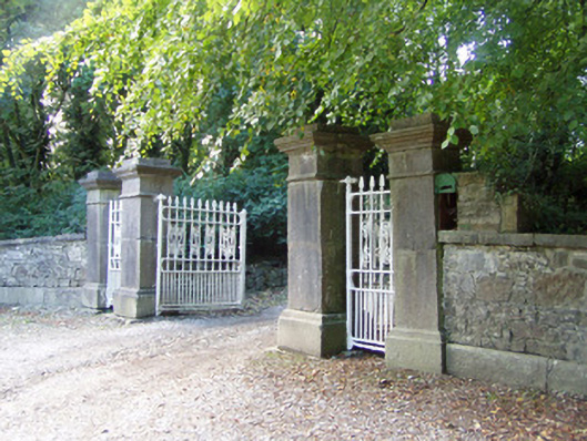 Castlepark Housedemesne walls/gates/railings · 423 yd
 Gurteenard Housecountry house · 432 yd
 Hanna SheehyMemorial · 1530 yd
 Burial ground in Curragh (duhallow By., Clonfert Par.)Burial ground · 1689 yd
 Burial ground in Kilcaskan SouthBurial ground · 1.1 mi
 CastleCastle, unclassified · 1.6 mi
 St Fursey's WellSpring · 2.4 mi
 Clonmeen Court (Site of)House, fortified house · 2.4 mi
 Burial ground in AssolasBurial ground · 2.4 mi
 European YewEuropean Yew · 2.7 mi
 Mount Hillary - Knightfield LoopWalking route · 3.9 mi
Other information
Photo: Credit not shown in the picture search · Rights wording not checked; contact us if this picture should be removed