What is recorded here
Seven metres of rough stone span the forgotten track beside Kilmackilloge Harbour, forcing the KenmareCastletownbere road to climb above what the sea and time have swallowed. The arch remains stubborn while the world around it changes, a small bridge carrying people across a gap that may no longer exist.
Viaduct (Wth 7m; long axis SW-NE) on the S side of Kilmackilloge Harbour, carrying the KenmareCastletownbere road over a grass-covered trackway. Built of random rubble with a single segmental arch (span 3m), with rough voussoirs, carried on high abuttments. A lintelled drain is built into the base of the E abutment on the NW side. The road approaching the viaduct on either side is carried on a random rubble causeway with a batter.
Compiled by: Elizabeth Byrne, Ursula Egan and Sheila Ronan, Archaeological Survey Unit, University College, Cork.
Date of upload: 30 May 2011
The monument record does not grant public access. Check the route and ask the landowner before entering private land.
- What survives
- Recorded monument
Places near here
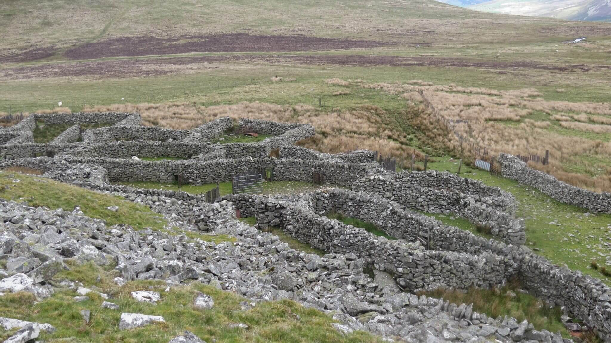 SheepfoldsEnclosure · 404 yd
 Drung HillMountain / peak · 686 yd
 Bird IslandIslet · 1383 yd
 Eskadawer Br.Bridge · 1567 yd
 Keeragh MountainMountain / peak · 1634 yd
 StonecircleArchaeological place · 1.1 mi
 Glashananinnaun Br.Bridge · 1.2 mi
 Ardgroom Pulleen LoopWalking route · 2.4 mi
 Habitat of DerreeniesNature reserve · 2.5 mi
 Japanese cedarJapanese cedar · 2.5 mi
 Rossdohan IslandIsland · 3.0 mi
 Coral BeachBeach / strand · 5.0 mi