
What is recorded here
A road bridge (Wth c. 6.1m; long axis NW-SE) spanning the tidal mouth of the river where it enters Kenmare River. Upper portion built of random rubble sandstone while abuttments are of rusticated ashlar. Single segmental arch with rusticated voussoirs. Base of parapets oversails faces of bridge. Vertical stone coping with occasional large horizontal blocks on parapets. Bridge is incorporated within random rubble causeway with batter.
Compiled by: Elizabeth Byrne, Ursula Egan and Sheila Ronan, Archaeological Survey Unit, University College, Cork.
Date of upload: 30 May 2011
The monument record does not grant public access. Check the route and ask the landowner before entering private land.
- What survives
- Recorded monument
Places near here
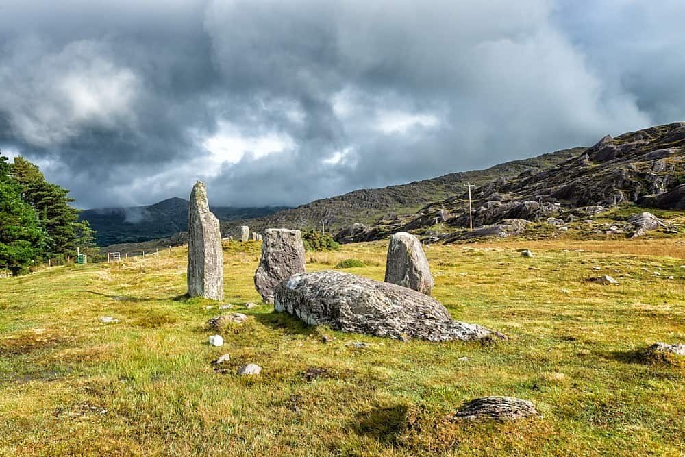 Field boundary in CashelkeeltyField boundary · 898 yd
 StonecircleArchaeological place · 902 yd
 Drung HillMountain / peak · 1482 yd
 Keeragh MountainMountain / peak · 1.2 mi
 Habitat of DerreeniesNature reserve · 1.6 mi
 Japanese cedarJapanese cedar · 1.6 mi
 Bird IslandIslet · 1.6 mi
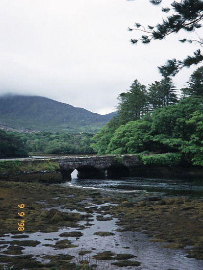 Cappul Bridgebridge · 1.6 mi
 Derreen Househouse · 1.6 mi
 Crane IslandIslet · 2.6 mi
 Ardgroom Pulleen LoopWalking route · 3.3 mi
 Beara WayWalking route · 6.2 mi
Other information
Photo: Credit not shown in the picture search · Rights wording not checked; contact us if this picture should be removed