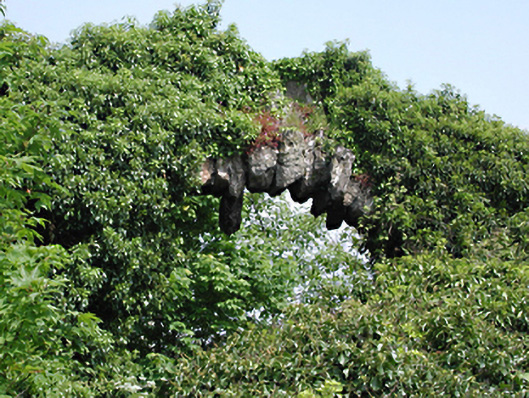
What is recorded here
Large freestanding arch, c.1850, constructed of grotesque voussoirs and prominent keystone. Approximately 6 metres high. Approximate span 6 metres. Adjacent sections of random coursed rubble walling.
This unusual large stone arch is an enigmatic feature its roadside location, possibly associated with an early watercourse.
From the Buildings of Ireland (National Inventory of Architectural Heritage) record 11216047
This does not grant access. Most recorded buildings are privately owned; view them only from public ground unless the owner allows entry.
Places near here
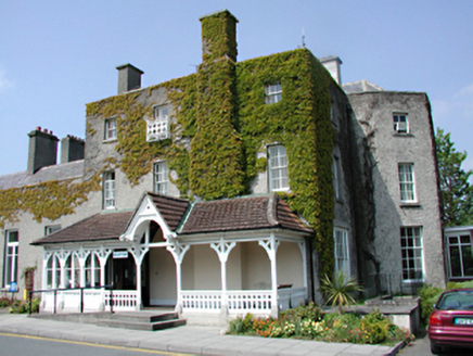 CheeverstownCountry house · 99 yd
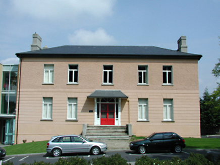 Templeogue HouseCountry house · 132 yd
 Austin Clarke BridgeMemorial · 445 ydIndicatedWell · 531 yd
 Rathfarnham CastleHouse, fortified house · 1.3 mi
 Rathfarnham CastleHeritage attraction · 1.3 mi
 Pearse MuseumMuseum · 1.6 mi
_-_20180125125204.jpg/250px-County_Dublin_-_St_Colmcille's_Well_(Oldcourt)_-_20180125125204.jpg "Photo: Syncretists, Wikimedia Commons · CC BY-SA 4.0") St Columkilles WellHoly well · 1.9 mi
St Columkilles WellHoly well · 1.9 mi Rathgar CastleCastle, unclassified · 2.1 mi
 Éamonn CeanntMemorial · 2.1 mi
 European Yew2.2 mi
 Lebanon Cedar2.4 mi
Pictures: National Inventory of Architectural Heritage; JP, Geograph · CC BY-SA 2.0; Coffeecup2, Wikimedia Commons · CC BY-SA 4.0; AndrewH at English Wikipedia, Wikimedia Commons · Public domain; Dave Addey at English Wikipedia, Wikimedia Commons · Public domain; Syncretists, Wikimedia Commons · CC BY-SA 4.0; Architecture of Dublin, Wikimedia Commons · Public domain; Sitomon, Wikimedia Commons · CC BY-SA 2.0; Olivier BEZES, Wikimedia Commons · CC BY 2.5
More historic places in County Dublin · All of County Dublin
What do you know about this place?