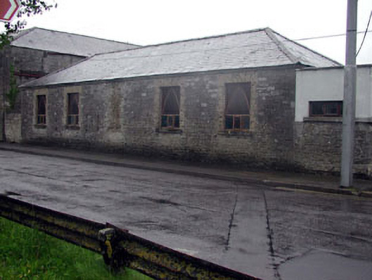
What is recorded here
Attached five-bay double-height rubble stone building, c.1850, originally detached. Renovated and extended, c.1980, comprising single-bay double-height lower flat-roofed end bay to right (south-west) on a canted plan incorporating fabric of former boundary wall. Hipped roof with slate. Clay ridge tiles. No rainwater…
Read the whole record
From the Buildings of Ireland (National Inventory of Architectural Heritage) record 11816092
Places near here
Photo credits
- National Inventory of Architectural Heritage
- Sitomon, Wikimedia Commons · CC BY-SA 2.0
- Mike Searle, Wikimedia Commons · CC BY-SA 2.0
- Ronnie Nijboer, Wikimedia Commons · CC0
- Zairon, Wikimedia Commons · CC BY 4.0
- 瑞丽江的河水, Wikimedia Commons · CC BY-SA 4.0
- Credit not shown, Wikimedia Commons · Creative Commons Attribution-ShareAlike 4.0
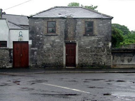 unknown16 yd
Explorer Tom Historic building in Monasterevin is strutting down Drogheda Street like it invented industrial chic. Some local once wrote a poem about its brickwork that made the horse cry. Find a local and ask them for the second verse before you go.
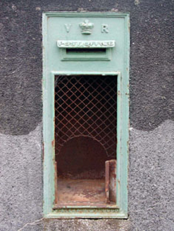 post box26 yd
Explorer Tom Post box in Monasterevin is proud of its Victorian roots even though it’s just cast iron on a wall. It thinks it’s more important than the cars parked next to it. Go on, count the windows and then pretend you understood something.
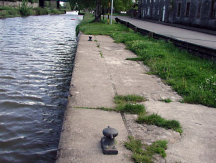 gates/railings/walls27 yd
Explorer Tom Gates in Monasterevin are where a priest once lost a bet involving a bottle of whiskey and a very stubborn mule. The wall never let him forget that loss. Ideal place to rehearse a dramatic entrance.
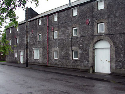 The MalthouseStore/warehouse · 30 yd
Explorer Tom The Malthouse in Monasterevin was built for drying grain, but it looks like it’s waiting for a bishop who refused to visit because he didn’t like the smell. Bring your own legend, I promise this place has more stories than you can count.
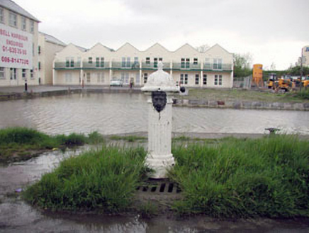 water pump37 yd
 European Yew570 yd
Explorer Tom European Yew in County Kildare refuses to fall down because it’s waiting for someone to owe it an apology. It’s been stubborn for centuries. Stand still and listen, the wind tells it better than me.
 Lea Castle (in ruins)Castle, Anglo-Norman masonry castle · 3.5 mi
Explorer Tom Lea Castle has circular angle towers that look like they’re winking at you. A fox took charge last Tuesday and seemed to enjoy the view. Tell it a joke, it's been a long time since anyone did.
Church (in Ruins), GraveyardChurch · 4.1 mi Wych Elm4.5 mi
Explorer Tom Wych Elm in County Laois is playing hide-and-seek with me. Locals swear if you tickle its trunk, it grants a wish, but only if you don't look. Dare you to say hello to it out loud?
 Round Tower6.4 mi
Explorer Tom Round Tower in Kildare would tell Saint Patrick to stop checking his phone so often. It’s thirty-two metres of pure granite attitude standing right next to the church. Walk past slowly like you're in a film.
 St. Brigids CathedralCathedral · 6.5 mi
Explorer Tom St. Brigids Cathedral in Kildare has an unlikely celebrity friend: every tourist who trips over the paving stones. It’s limestone, square-crossing, and absolutely refuses to be subtle. Look up, the best bit is always higher than you think.
 IndicatedCastle, motte · 11 mi
Explorer Tom Castle in Ballyshannon Demesne is a conical mound with a tree on top, looking like a giant mushroom that gave up on fruit. It handles nosey neighbours by staying quiet. If it rains, blame me.
More historic places in County Kildare · All of County Kildare

What do you know about this place?Tap to add a comment or ask a question