Places near here
Photo credits
- National Inventory of Architectural Heritage
- Rossographer, Geograph · CC BY-SA 2.0
- Andreas F. Borchert, Wikimedia Commons · CC BY-SA 4.0
- https://www.flickr.com/photos/moonrising/, Wikimedia Commons · CC BY 2.0
- Michal Osmenda from Brussels, Belgium, Wikimedia Commons · CC BY-SA 2.0
- Michael Dibb, Geograph · CC BY-SA 2.0
- Ben Brooksbank, Geograph · CC BY-SA 2.0
- Carroll Pierce, Wikimedia Commons
- Kenneth Allen, Geograph · CC BY-SA 2.0
- Andrejs Plavins / Inishowen News, www.inishowennews.com
 Lop 79Watch tower · 19 mi
Explorer Tom Lop 79 was a watch hut built around 1941 above the Atlantic, with a canted bay facing north. Its square openings have…
 Fanad Head Lighthouse Visitor CentreVisitor information · 19 mi
Explorer Tom Fanad Head Lighthouse Visitor Centre is where the lighthouse keeper got so annoyed at the fox stealing his lunch that…
 Fanad Head LighthouseLighthouse · 19 mi
Explorer Tom Fanad Head Lighthouse stands between Lough Swilly and the Atlantic like someone planted a bright white exclamation mark…
 Fanad LighthouseLighthouse · 19 mi
Explorer Tom Fanad Lighthouse swapped its tiny 1815 sibling for a grander tower just two decades later. I bet the old lighthouse…
.jpg/250px-Fanad_Head_(2698646541).jpg "Photo: Michal Osmenda from Brussels, Belgium, Wikimedia Commons · CC BY-SA 2.0") Fanad HeadCoast · 19 mi
Fanad HeadCoast · 19 miExplorer Tom Fanad Head is the tip of the peninsula between Lough Swilly and Mulroy Bay. The lighthouse gets the photographs, but…
 Dunaff HillMountain / peak · 19 mi
Explorer Tom Dunaff Hill sits in County Donegal, offering a coastal view that seems to be winking at passing ships. It has no…
 Lighthouse TavernPub · 19 mi
Explorer Tom Lighthouse Tavern closes every Thursday, which makes it perfect for mysterious disappearances and unexplained puddles.…
 Tullagh BaySurfing beach · 20 mi
Explorer Tom Tullagh Bay curves below Binion Hill like someone drew a horseshoe in the sand and forgot to stop. Surfers know its…
 Rusty NailPub · 20 mi
Explorer Tom Rusty Nail pub in County Donegal is held together by hope and one very stubborn, rusty nail that has its own…
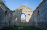 Clonmany Early Church GraveyardGraveyard · 21 mi
Explorer Tom Clonmany Early Church Graveyard hides a stone with two cupmarks called St. Colmcille's knee-prints. I reckon a kneeling…
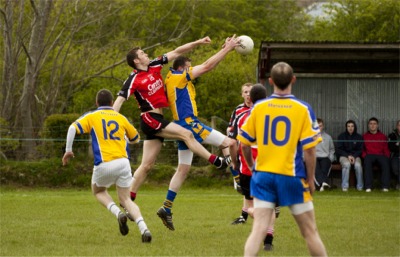 Páirc Uí Chnáimhsí, UrrisGAA ground · 21 mi
 Clonca Second High CrossCross, High cross · 27 mi
Explorer Tom Clonca Second High Cross is currently a bit of a puzzle, lying on the ground next to its original socket hole. The arm…
More wrecks and historic events in Argyll and Bute · All of Argyll and Bute

What do you know about this place?Tap to add a comment or ask a question