What is recorded here
Marked as a mound (diam. of base c. 40m) only on the 1940 ed. of the OS 6-inch map. Situated towards the bottom of the W-facing slope of Ask Hill. This is a flat-topped grass and scrub-covered earthen mound (diam. of base 26m; diam. of top 8m; H 1-4m) with a pit (diam. 4m; D 0.6m) on the summit. There is a quarry c. 30m to the S, and it is possibly a spoil mound. The possible ringfort (WX007-002002-) is just to the W.
The above description is derived from the published 'Archaeological Inventory of County Wexford' (Dublin: Stationery Office, 1996).
From the National Monuments Service (Archaeological Survey of Ireland) record WX007-020001
Places near here
Photo credits
- National Inventory of Architectural Heritage
- Ian Brooker and David Kleinig, Wikimedia Commons · CC BY 3.0 au
- Sarah777 at English Wikipedia, Wikimedia Commons · Public domain
- Smirkybec, Wikimedia Commons · CC BY-SA 4.0
- Ryanforsyth9, Wikimedia Commons · CC BY-SA 4.0
- surrealpenguin, Wikimedia Commons · CC BY-SA 2.0
 Embanked enclosureFairy fort / earthen ringfort · 46 ydFulacht fia in AskFulacht fia · 371 yd
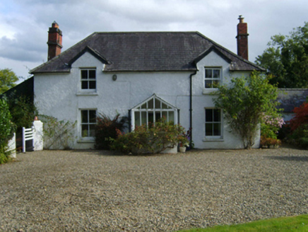 Ballytegan HouseFarm house · 1516 yd
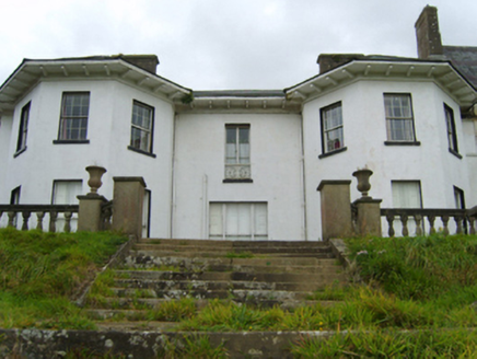 Ramsfort HouseCountry house · 1.1 miKia Ora Mini FarmHeritage attraction · 1.6 miCastleCastle, unclassified · 1.8 mi
 Johnston's gum1.9 mi
 Tara HillMountain / peak · 2.0 mi
 Market HouseHeritage attraction · 2.0 mi
 1798 MonumentMemorial · 2.3 mi
 Persian Walnut2.8 mi
 Annagh HillMountain / peak · 5.8 mi
More archaeology and monuments in County Wexford · All of County Wexford
What do you know about this place?Tap to add a comment or ask a question