
What is recorded here
Tuck Mill depicted on the 1841 ed. OS 6-inch map may have been built on site of or incorporated fabric of watermill depicted on the 17th century Down Survey Map of Coshlea Barony (Hib. Reg.).
See attached Down Survey Barony Map showing the watermill at Ballinlyna Lower, courtesy of TCD
Compiled by: Caimin O'Brien
Date of upload: 22 November 2022
The monument record does not grant public access. Check the route and ask the landowner before entering private land.
- What survives
- Recorded monument
Places near here
 Man-made underground passageMan-made underground passage · 608 yd
 Rathaboira, hachuredMound · 810 yd
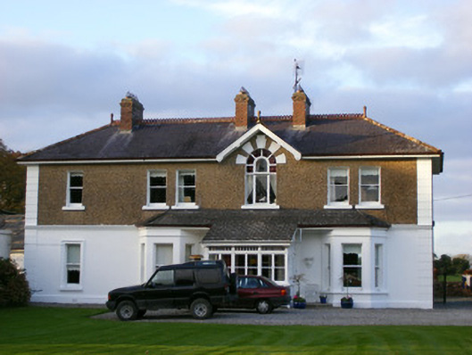 Sycamore Lodgehouse · 1025 yd
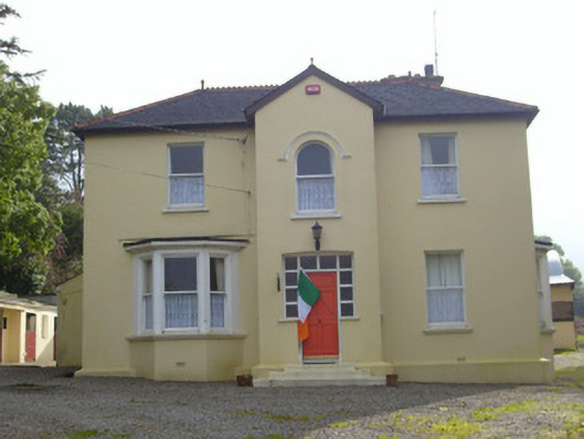 Hillsidehouse · 1110 yd
 Ballyhoura tourist informationVisitor information · 1361 yd
 Treada Na Ríogh (The Moat), hachuredCastle, motte · 1487 yd
 Castle (in ruins)Castle, tower house · 1529 yd
 Palatine's RockNamed rock · 1.8 mi
 Gooseberry HillMountain / peak · 1.9 mi
 Keale MountainMountain / peak · 2.1 mi
 Ballyhoura WayWalking route · 2.1 mi
 ToberpatrickSpring · 2.9 mi
Other information
Photo: Credit not shown in the picture search · Rights wording not checked; contact us if this picture should be removed