What is recorded here
Marked only on the 1914 ed. of the OS 6-inch map as a trig. station described in gothic lettering as 'Caraun', and situated on a low E-W ridge. Subcircular grass-covered and rounded mound (dims 7.5m N-S; 6.5m E-W; H 1.05m at W to 1.65m at N).
Compiled by: Michael Moore
Date of upload: 24 August 2010
The monument record does not grant public access. Check the route and ask the landowner before entering private land.
- What survives
- Recorded monument
Places near here
 Embanked enclosureFairy fort / earthen ringfort · 1691 yd
 RathroeFairy fort / earthen ringfort · 1.1 mi
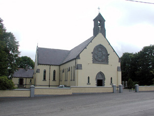 Saint Attracta's Catholic Churchchurch/chapel · 1.3 mi
 Kilnamanagh Church (in Ruins)Church · 2.7 mi
 Gray's WoodForest · 2.9 mi
 Square WoodForest · 3.0 mi
 Frenchpark Ho.Castle, unclassified · 3.5 mi
 IndicatedBawn · 4.1 mi
 Bawn IslandIslet · 4.6 mi
 Rose PointHeadland · 5.3 mi
 Castle PointHeadland · 5.8 mi
 War of Independence Commemorative Military MemorialMemorial · 5.8 mi