
What is recorded here
From the National Monuments Service (Archaeological Survey of Ireland) record KD022-029015
Places near here
Photo credits
- Maker not stated on source page, www.dreamstime.com
- 瑞丽江的河水, Wikimedia Commons · CC BY-SA 4.0
- Zairon, Wikimedia Commons · CC BY 4.0
- National Inventory of Architectural Heritage
- Andreas F. Borchert, Wikimedia Commons · CC BY-SA 4.0
- Chhe ( talk ), Wikimedia Commons · Public domain
- Maker named on the Wikimedia Commons picture page · CC BY-SA 3.0
- Maker not stated on source page, www.pinterest.com
- Maker not stated on source page, www.interment.net
 CastleCastle, tower house · 1 yd
Explorer Tom White's Castle in Kildare claims the seagulls hold an annual meeting here to complain about the lack of chips. They…
 St. Brigids CathedralCathedral · 435 yd
Explorer Tom St. Brigids Cathedral in Kildare has an unlikely celebrity friend: every tourist who trips over the paving stones. It’s…
 Round Tower440 yd
Explorer Tom Round Tower in Kildare would tell Saint Patrick to stop checking his phone so often. It’s thirty-two metres of pure…
 Religious houseReligious house, Carmelite friars · 637 yd
Explorer Tom The Carmelite friars’ church had a favourite song: 'Burn it Down', which they performed live in 1540. Now it’s gone…
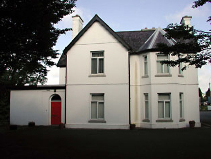 Tús NuaHouse · 862 yd
Explorer Tom Tús Nua in Kildare is so confusing that even the Vikings probably got lost trying to find its front door. It’s all…
 Grey Abbey (in Ruins)Religious house, Franciscan friars · 1040 yd
Explorer Tom Grey Abbey is where the whole parish argued about whether the coffee was too strong or the sermon too long. The…
 The National StudDemesne walls/gates/railings · 1042 yd
Explorer Tom The National Stud gateway in Kildare is fancy ironwork that thinks it’s better than Buckingham Palace. It’s got a…
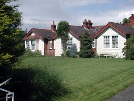 Munster LodgeOfficer's house · 1261 yd
Explorer Tom Munster Lodge in Kildare has a long-standing grudge against the weather for messing up its officer’s uniform. It’s a…
 Bee-bee tree1.1 mi
Explorer Tom Bee-bee tree in County Kildare is a secret-keeper that only talks after three pints of rain. It’s got a story about…
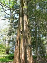 Dawn Redwood1.2 mi
Explorer Tom Dawn Redwood in County Kildare claims it's taller than the Leaning Tower of Pisa, which is laughable. It just needs a…
 Graveyard in Walterstown (nurney Ed)Graveyard · 4.7 mi
Explorer Tom Walterstown’s graveyard had its field bank bulldozed, which is basically a fairy dispute over parking rights on…
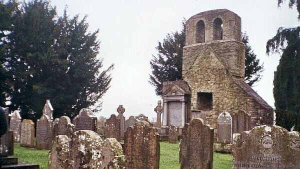 CemeteryGraveyard · 6.6 mi
Explorer Tom Cemetery in Moortown is an unenclosed graveyard where a priest lost a bet on whether the bank would hold or collapse.…
More archaeology and monuments in County Kildare · All of County Kildare

What do you know about this place?Tap to add a comment or ask a question