What is recorded here
Situated at the crest of a slight N and E-facing slope down to the N-S Owenduff/Corock river, which is c. 300-350m to the E. There are no murage grants for Clonmines and it might not have been defended, but at the W side of the town a N-S field bank (Wth c. 2m; H c. 2m) has a flat bottomed fosse or ditch (Wth c. 4m; int. D c. 1m) on its E side running N from the graveyard that has the fortified church (WX045-012006-) and St. Nicholas’ parish church (WX045-012007-) (L c. 200m). This would cut off the town on a bend of the E-W Owenduff river c. 500m N of the churches.
Situated at the crest of a slight N and E-facing slope down to the N-S Owenduff/Corock river, which is c. 300-350m to the E. There are no murage grants for Clonmines and it might not have been defended, but at the W side of the town a N-S field bank (Wth c. 2m; H c. 2m) has a flat bottomed fosse or ditch (Wth c. 4m; int. D c. 1m) on its E side running N from the graveyard that has the fortified church…
From the National Monuments Service (Archaeological Survey of Ireland) record WX045-012009
The monument record does not grant public access. Check the route and ask the landowner before entering private land.
- What survives
- Recorded monument
Places near here
 Black Castle (in ruins)Castle, tower house · 221 ydTower (In Ruins)Archaeological place · 227 yd
 IndicatedBawn · 263 yd
 graveyard/cemetery754 yd
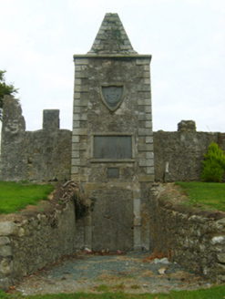 mausoleum756 ydCarrig-On-BannowVisitor information · 2.2 mi
 Blackhall StrandBeach / strand · 3.4 mi
 Cullenstown StrandBeach / strand · 3.7 mi
 Windmill3.7 mi
 Keeragh IslandsIsland · 4.6 mi
 Hook Tourism (Fethard Office)Visitor information · 5.8 mi
 Ballyteigue BurrowNature reserve · 6.7 mi
Pictures: Mike Searle, Geograph · CC BY-SA 2.0; National Inventory of Architectural Heritage; Oliver Dixon, Geograph · CC BY-SA 2.0; P L Chadwick, Geograph · CC BY-SA 2.0; kevin higgins, Wikimedia Commons · CC BY-SA 2.0
More archaeology and monuments in County Wexford · All of County Wexford
What do you know about this place?