DDiscover AloneMapAbout

Tower in Oldcourt

House, fortified house

The monument record does not grant public access. Check the route and ask the landowner before entering private land.

What do you know about this place?Tap to add a comment or ask a question

What you write will be public.

What is recorded here

Situated in the NE angle of a natural platform forming the summit of a slight knoll overlooking the steep sides of a stream valley to the E. Castle, 17th century house (WI008-041----) and bawn (WI008-002001-) described in the Ordnance Survey letters of 1838/40 as following; ‘Old Court Castle occupies a bold and…

Read the whole record
Situated in the NE angle of a natural platform forming the summit of a slight knoll overlooking the steep sides of a stream valley to the E. Castle, 17th century house (WI008-041----) and bawn (WI008-002001-) described in the Ordnance Survey letters of 1838/40 as following; ‘Old Court Castle occupies a bold and handsome situation on the brink of a little river in the townland of Old Court. It is a square tower about 70 feet (21.3m) high, 54 feet [16.45m] long and 20 [6m] broad, with all its sides perfect to the top. It has several square and two gothic arched windows or loop holes. The ascent within is by wooden ladders and partly by the original spiral stone stairs. The entrance was through a door on the west side near the N.W. angle, and apparently through a house (WI008-041----) which projected from this angle westward 54 feet [16.45m] in length by 20 [6m] in breadth; the foundation only traceable at present. The remains of two small round towers mark the gate entrance to the house, lying about 20 yards [18.2m] south of the castle. That on the right as you enter is 12 feet [3.65m] in diameter and five [1.5m] in height, the wall 2 feet [0.6m] thick, and having a breach 7 feet [2.13m] wide on the west side. Ten or twelve feet [3-3.65m] of the other remains to the height of about ten feet [3m], having a pointed arched doorway 7 feet [2.13m] high and two feet 6 inches [0.76m] wide’ (O’Flanagan 1928, 28-9). The castle was described described in 1905 as 'a restored tower, standing in the angle formed by two walls of a courtyard (WI008-002002-). The lands on which the castle stands were owned, from the fourteenth to the sixteenth century, by the Earls of Ormond in right of their manor of Bray, and were held under them by the Archbolds, and subsequently by the Walshes of Carrickmines. It is now the property of the Earl of Meath’ (Anon 1905, 429). Present remains consist of a rectangular four-storey tower of uncoursed rubble with dressed granite and limestone quoins (dims. 7.85m N-S; 5m E-W; H c. 21m). The tower has a spiral stairwell leading from the second to the fourth floors in the NW angle. There is apparently no access to the tower at ground-floor level (although there is a possible doorway at the N side of the W wall close to NW angle as described in the OS letters). On the N side there is a projecting wall stump, probably the remains of a single-storey entrance tower; access was via this through a first-floor intramural passage in the NW angle and thence to a round-headed doorway in the W face. A rectangular doorway beside the passage entrance in the N face may not be original. Barrel vaulting, aligned E-W occurs at both ground- and first-floor levels. There are ogee-headed chamfered windows with glazing-bar holes at second-floor level in the E and S walls; all other windows are simple rectangles. Foundations of a bawn wall (WI008-002002-) extend W for 16m from the NW angle of the tower house. From the SW angle the bawn wall runs W for a short distance before turning S towards two circular gate-towers. The eastern gate-tower is largely intact (H 2.5m) while only the entrance to the western one remains. The bawn wall was built along the edge of the platform above steep slopes. A short wall angle of similar uncoursed rubble occurs immediately W of the gate-towers; this may be an associated feature - possibly part of the bawn wall. A 17th-century house (WI008-041----) was attached to the W wall of the tower house. It is unclear whether the house is a later addition built into the W face of the tower or if it is contemporaneous with the tower and acted as the hall of the tower in a similar fashion to Coolamber Castle (LF006-018----), Co. Longford and Coolhull Castle (WX046-028----), Co. Wexford. Both of these castles are examples of 17th century fortified houses consisting of a narrow tall residential tower at one end with long rectangular house acting as a hall type structure running off the narrow tower. Archaeological testing carried out to the W of this monument in 1996 (Excavation Licence 96E0090) uncovered a probable field boundary of unknown date and an extensive spread of red brick which probably represented a dump from the nearby Boghall Brickworks (indicated on the first edition OS 6-inch map). (Simpson 1997, 117) The above description is derived from the published 'Archaeological Inventory of County Wicklow' (Dublin: Stationery Office, 1997). Revised by: Caimin O'Brien Date of revision:10 May 2016 This monument is subject to a preservation order made under the National Monuments Acts 1930 to 2014 (PO no. 143/1940).

From the National Monuments Service (Archaeological Survey of Ireland) record WI008-002001

Places near here

Photo credits
  • National Inventory of Architectural Heritage
  • Maker not stated on source page, ru.pinterest.com
  • Kmcnamee, Wikimedia Commons · CC BY-SA 4.0
  • Maker not stated on source page, www.pinterest.com
  • Cumann na mBunscol Wicklow photo album; individual photographer not named, www.cnmbwicklow.ie
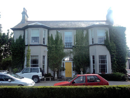
Killarney HouseHouse · 413 yd

Explorer Tom Killarney House in Killarney is hidden from the road but adds so much Victorian charm to Bray. Why does the wind keep…
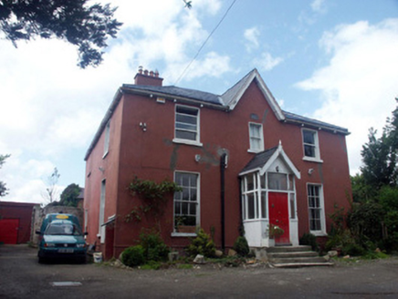
BellevueHouse · 518 yd

Explorer Tom Bellevue is a modest mid-Victorian house in Killarney that’s hidden from the main road but adds much to Bray’s…

Graveyard in Kilbride (rathdown By.)Graveyard · 614 yd

Explorer Tom Graveyard in Kilbride thinks the seagulls are its only real critics, constantly screaming down at it from above about…
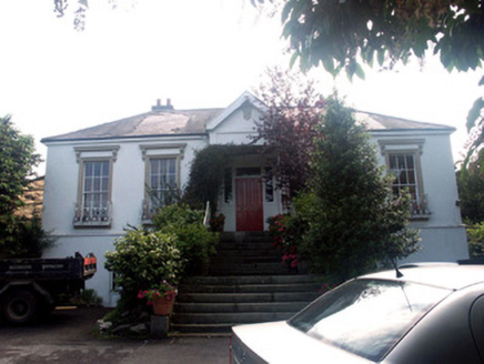
Glenlucan HouseHouse · 704 yd

Explorer Tom Glenlucan House got lost on the way to Killarney Road and ended up looking like it was hiding. It wasn’t trying to be…
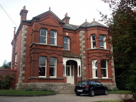
GlendairHouse · 767 yd

Explorer Tom Glendair in Bray keeps getting picked on by the wind because it thinks being Edwardian gives it special rights to stand…
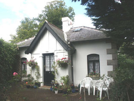
Ardmore HouseGate lodge · 792 yd

Explorer Tom Ardmore House in Killarney does something naughty when nobody’s looking, like rearranging its own bricks just to see if…
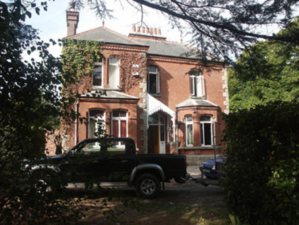
AlderbrookHouse · 800 yd

Explorer Tom Alderbrook in Bray is hiding behind high trees and shrubs like it’s shy, but it’s actually quite proud of its Edwardian…
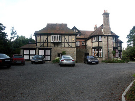
Ard SoluisHouse · 854 yd

Explorer Tom Ard Soluis makes a distinct 'thunk' sound at night, which locals claim is the ghost of a very heavy curtain dropping.…
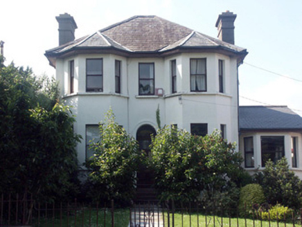
BeachmountHouse · 878 yd

Explorer Tom Beachmount in Bray would have made Saint Patrick blush red to the ears with its sheer architectural confidence. It’s a…

Fergal Og GAAGAA ground · 1176 ydSpringfield CemeteryCemetery · 1439 yd

Explorer Tom Springfield Cemetery in County Wicklow is home to a legend about a giant who got stuck in a ditch. He never did get…

Bray Emmets GAA ClubGAA ground · 1.1 mi

Explorer Tom Bray Emmets has room for a hurling swing, a football run and several very confident sideline opinions. I offered to…

More castles and forts in County Wicklow · All of County Wicklow

Add to this placeAdd a picture Add a detailed tip Add a story

Explore the map1,095,414 places to discover

Next place · or swipeKillarney House