
What is recorded here
On a hillock surrounded by conifer forest. Named ‘Tonwaun Fort’ on the first edition (1842) of the OS 6-inch map and shown as a large oval enclosure (est. max diams. c. 50m N-S; c. 45m E-W) which contains a smaller, oval enclosure (est. max. diams. c. 14m E-W; c. 10m N-S) just S of centre. Named 'Tonwaun Fort (Site…
Read the whole record
From the National Monuments Service (Archaeological Survey of Ireland) record CL008-090
Places near here
Photo credits
- National Inventory of Architectural Heritage
- Maker not stated on source page, tr.pinterest.com
- Maker not stated on source page, www.dreamstime.com
- Maker not stated on source page, en.wikipedia.org
- Valfex, Wikimedia Commons · CC BY-SA 3.0
- Gareth James, Geograph · CC BY-SA 2.0
- Bob Jones, Geograph · CC BY-SA 2.0
- Andy Waddington, Wikimedia Commons · CC BY-SA 2.0
- Berthold Werner, Wikimedia Commons · CC BY-SA 4.0
- Kmcnamee, Wikimedia Commons · CC BY-SA 4.0
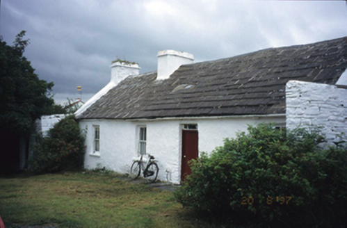 farm house1731 yd
Explorer Tom Aughiska More Farm house in Aughiska More is sitting pretty with its dormer attic, looking down on us peasants. Saint…
 Graveyard in ToomullinGraveyard · 1.2 mi
Explorer Tom Graveyard in Toomullin was nearly sold for a horse when the landowner couldn’t decide if he wanted grass or ghosts on…
 Standing stone in DoolinStanding stone · 1.4 mi
Explorer Tom Standing stone in Doolin thinks tourists from Dublin walk too loudly and don’t respect the silence of the barrow. It…
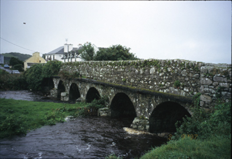 Roadford BridgeBridge · 1.4 mi
Explorer Tom Roadford Bridge has six arches, which is a lot of effort for something you just walk across. Built in 1810, it’s…
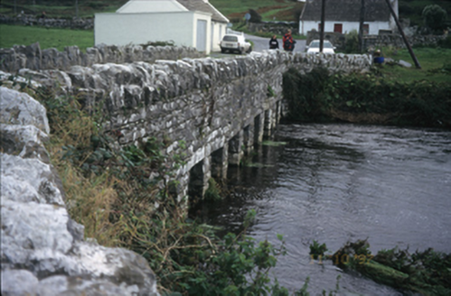 bridge1.6 mi
Explorer Tom Doolin Bridge claims Queen Victoria used it as a drying rack for her wet socks in 1775, and nobody has the receipts to…
 Fairy fort / earthen ringfort in Carrowduff (killaspuglonane Ed)Fairy fort / earthen ringfort · 1.6 mi
Explorer Tom This fairy fort in Carrowduff ended up in the wrong place because it took a wrong turn at the crossroads. It’s…
 Doonagore Castle in ruinsCastle, tower house · 1.7 mi
Explorer Tom Doonagore Castle in ruins has a hidden message in its stones that just says 'we were here and then we weren't,' which…
 Doonmacfelim Castle (in Ruins)Castle, tower house · 1.7 mi
Explorer Tom Doonmacfelim Castle was built on a bargain where an O’Connor traded his good name for a slightly less good one, which…
 Ballaghaline PointHeadland · 2.7 mi
Explorer Tom Ballaghaline Point is currently in the middle of a fairy dispute over who gets to park their tiny little carriage…
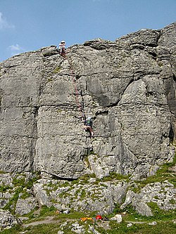 BallyryanCliff · 4.3 mi
Explorer Tom Ballyryan is the Burren crag that seems to have wandered up beside the coast road to show the bigger cliffs how to…
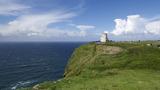 Cliffs of MoherCliff · 5.2 mi
Explorer Tom Come on, you did not think Moher was named after a gift shop, did you? Mothar fort stood at Hag's Head until 1808, when…
 Liscannor GAA pitchGAA ground · 6.1 mi
More archaeology and monuments in County Clare · All of County Clare

What do you know about this place?Tap to add a comment or ask a question