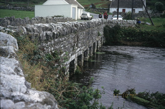
What is recorded here
Twelve-span trabeated rubble stone road bridge over river, built c. 1775, with two pedestrian refuges, cut-stone cutwaters, lintels and limestone parapet walls. Concrete replacement slabs spanning five bays to right-hand side of upstream elevation.
From the Buildings of Ireland (National Inventory of Architectural Heritage) record 20400825
This does not grant access. Most recorded buildings are privately owned; view them only from public ground unless the owner allows entry.
Places near here
Fisherstreet PotCave · 223 ydEnclosure in DoonmacfelimEnclosure · 351 yd Doonmacfelim Castle (in Ruins)Castle, tower house · 487 ydRoadford BridgeBridge · 562 ydbridge671 ydDoonagore Castle in ruinsCastle, tower house · 1658 ydCourt tomb in TeergoneanCourt tomb · 1743 ydWild Atlantic Way: Doolin PierVisitor information · 1.1 miBallaghaline PointHeadland · 1.2 miDoolin PointHeadland · 1.3 miCrab IslandIslet · 1.4 miDoolin CaveCave · 2.2 mi
 Doonmacfelim Castle (in Ruins)Castle, tower house · 487 yd
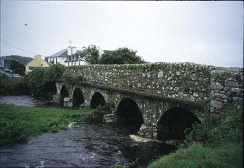 Roadford BridgeBridge · 562 yd
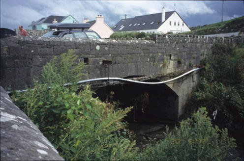 bridge671 yd
 Doonagore Castle in ruinsCastle, tower house · 1658 yd
 Court tomb in TeergoneanCourt tomb · 1743 yd
 Wild Atlantic Way: Doolin PierVisitor information · 1.1 mi
 Ballaghaline PointHeadland · 1.2 mi
 Doolin PointHeadland · 1.3 mi
 Crab IslandIslet · 1.4 mi
 Doolin CaveCave · 2.2 mi
Pictures: Gareth James, Geograph · CC BY-SA 2.0; National Inventory of Architectural Heritage; Valfex, Wikimedia Commons · CC BY-SA 3.0; No machine-readable author provided. Bogman assumed (based on copyright claims)., Wikimedia Commons · CC BY-SA 2.5; Bob Jones, Geograph · CC BY-SA 2.0; Gordon Hatton, Geograph · CC BY-SA 2.0; P.hammer, Wikimedia Commons · CC BY-SA 3.0
More historic places in County Clare · All of County Clare
What do you know about this place?